Smyrna
A rural community in southern Aroostook County
Weather in Smyrna
Loading the forecast…
 Your logo here
This page could be sponsored
Your business name here
Sponsor This Page
Located in southern Aroostook County west of Houlton, Smyrna is a town of 439 residents that was incorporated in 1839. In 1996, the town became home to Maine's first Amish community settlement.
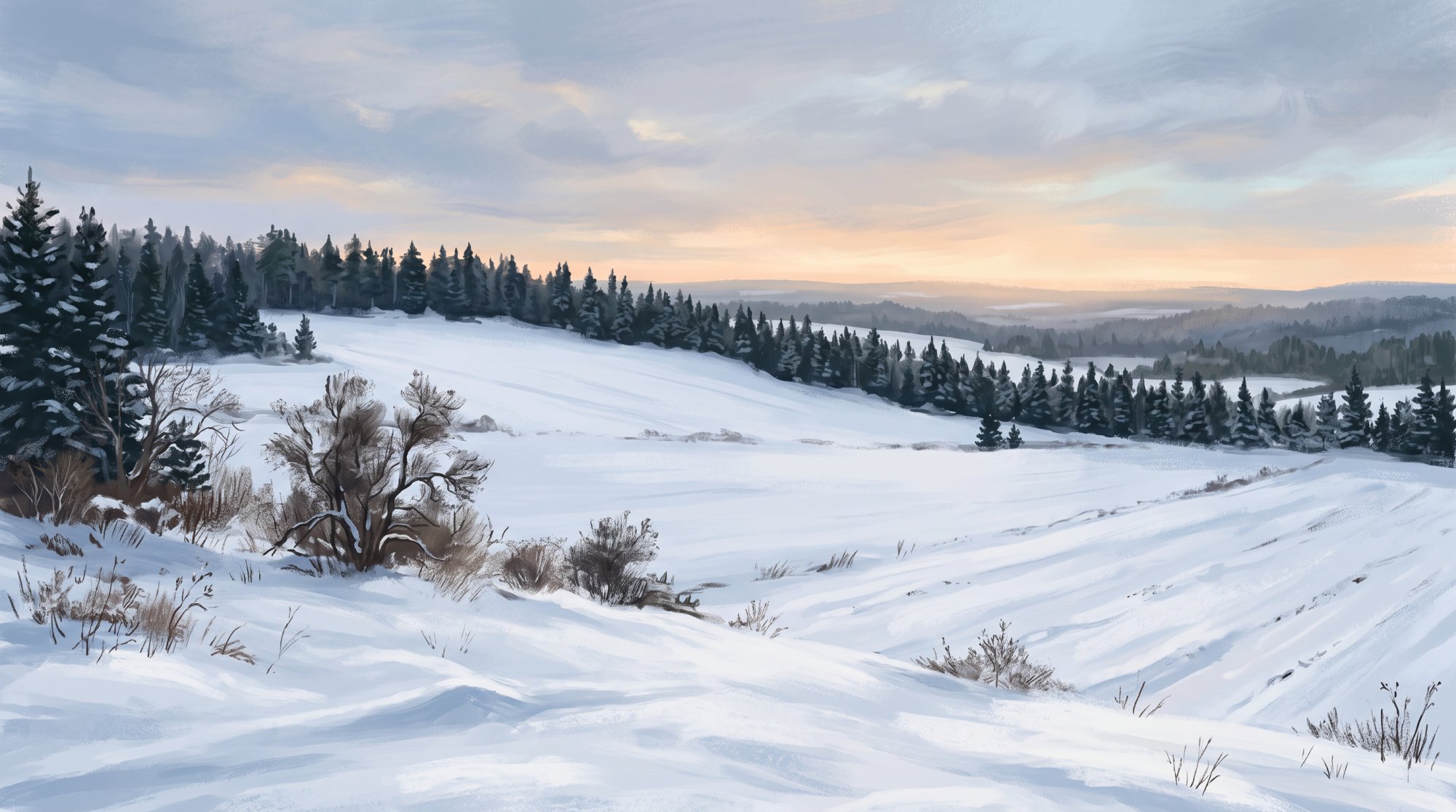
Smyrna, Maine, is a rural town located in southern Aroostook County in northeastern Maine, situated west of Houlton. For anyone planning a visit, understanding the layout and amenities of Smyrna Maine will help you navigate the community.
Geography and Demographics
The town covers an area of 35.20 square miles, consisting of 35.11 square miles of land and 0.09 square miles of water, at an official elevation of 879 feet (268 meters) above sea level. It shares borders with Ludlow to the east, Oakfield to the south, and Merrill to the west. The East Branch Mattawamkeag River runs through Smyrna, flowing near the village of Smyrna Mills in the southern portion of town.
According to the 2020 Decennial Census, Smyrna has a population of 439 residents. Census estimates list the median household income at $57,750, with a municipal poverty rate of 15.79%.
Local Economy and Businesses
Agriculture and local retail make up a key part of daily business in Smyrna. Enterprises throughout the town include:
- The Back 40 Farm Market: A retail cooperative hub for approximately 12 to 26 local Amish farm families that sells produce, dairy, grass-fed beef, pastured poultry and pork, and baked goods.
- The Pioneer Place, U.S.A.: An off-grid general store established in the late 1990s supplying dry goods, tools, and farming items.
- Moosehead Meats: A USDA-certified slaughterhouse serving the agricultural community.
- Farms: Local commercial agricultural operations include Lilley Farms Inc., which raises and sells beef, and Marley Mountain Poultry.
- Trades and Services: Local shops offer metal roofing, Sturdi-Bilt storage buildings, bicycle repair, greenhouse goods at Merri-Gold Greenhouse, furniture making, rustic woodworking, and leather and harness work.
- Dining and Lodging: The Brookside Inn is located along Route 2, providing lodging and a sit-down restaurant.
Community and Cultural Life
The Smyrna – Merrill Historical Society is located at 3411 County Road in Smyrna Mills. Housed in a former United Methodist Church building, the organization preserves area history and hosts cultural activities, including community dinner theater plays performed by local actors.

Outdoor Recreation
Smyrna offers four-seasons outdoor recreation, nature access, and wildlife viewing:
- Fishing: The East Branch Mattawamkeag River is used for catching brook trout and bass.
- Snowmobiling: Snowmobile routes connect to Maine's Interconnected Trail System (ITS), maintained in cooperation with groups such as the nearby Smoki-Haulers Snowmobile Club on Oakfield Smyrna Road.
- ATV Riding: The town connects to the southern Aroostook County ATV network, with neighboring trailheads and park-and-ride facilities maintained by the Knowles Corner ATV Club off the Smyrna-Oakfield Road.
Schools
Smyrna is part of Regional School Unit #50 (RSU 50), which also includes Crystal, Dyer Brook, Hersey, Island Falls, Merrill, and Oakfield. Public education facilities and programs include:
- Southern Aroostook Community School: A comprehensive PK-12 public school operated by RSU 50.
- Region Two School of Applied Technology: Located in Houlton, offering career and technical education training to Southern Aroostook Community School students.
- Adult Education: RSU 50 provides adult education programming.
Town Government and Public Services
Smyrna operates under a Selectmen, Town Manager, and Town Meeting form of government. The Board of Selectmen and Commissioners consists of Perry Lilley, Kevin Brannen, John Graham, Ross Crandall, and Clifford Folsom.
- Town Office: Located at 3391 Route 2. Office hours are Monday through Friday from 8:00 a.m. to 4:00 p.m., with extended hours until 7:00 p.m. on Tuesday. The fax number is (207) 757-7155.
- Administration: Candis Nevers serves as Town Manager, Tax Collector, Deputy Treasurer, and Clerk. Alberta McDonald serves as Treasurer, Deputy Clerk, and Deputy Tax Collector.
- Emergency Services: Law enforcement is provided by the Maine State Police and the Aroostook County Sheriff's Office, supported by a local Animal Control Officer. Fire protection is contracted through the Oakfield Fire Department, and local fire wardens handle town fire duties.
Transportation
U.S. Route 2 runs east-west through Smyrna and Smyrna Mills, paralleling Interstate 95 before connecting with it at Exit 291. Houlton, the county seat, is located about 15.5 miles east via U.S. Route 2 and Interstate 95. Houlton International Airport is accessed to the east off I-95 Exit 305 and Route 2. For public transit, the Aroostook Regional Transportation System (ARTS) operates bus and demand-response services connecting Smyrna Mills to Houlton and neighboring communities on designated weekly schedules.
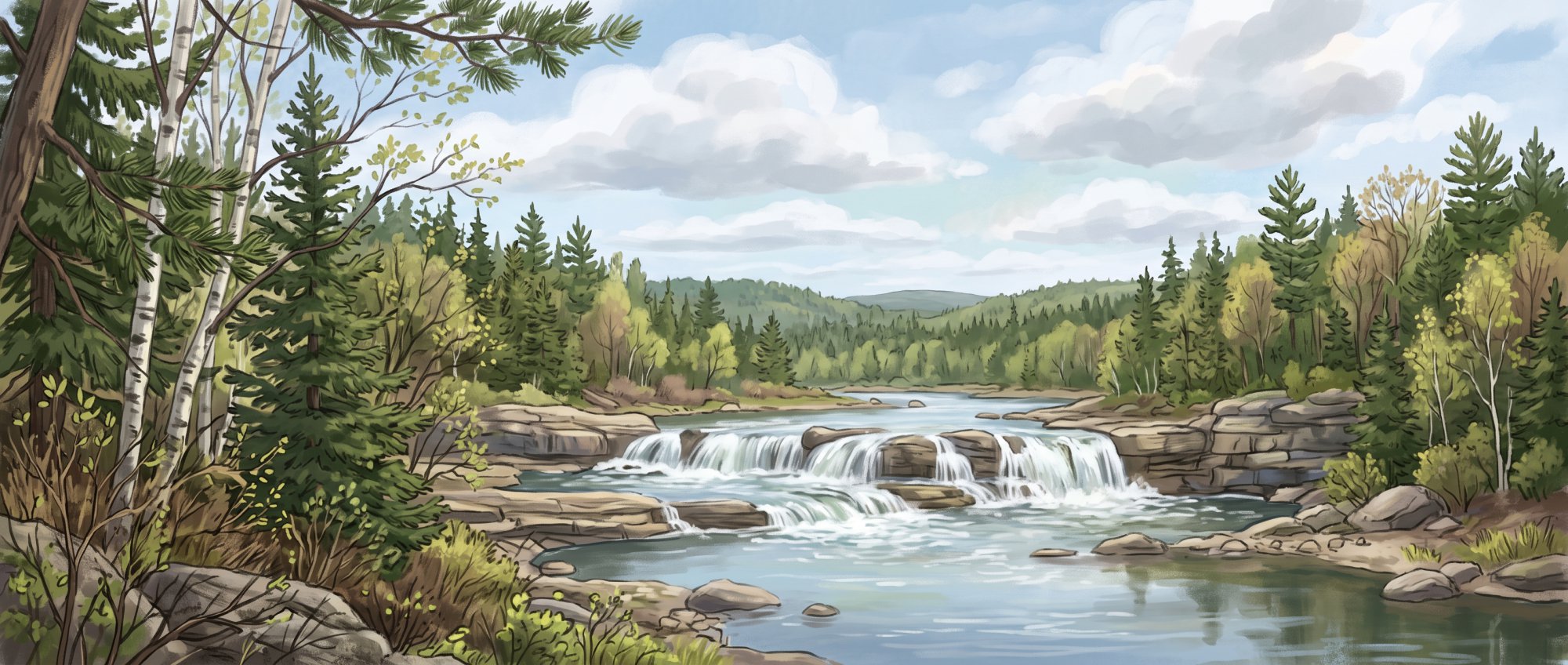
History of Smyrna
In 1830, the State of Maine granted the township to Nehemiah Leavitt, a Methodist minister from Royalton, Vermont, on condition that he settle 100 residents within five years and construct a sawmill, gristmill, and four schoolhouses. Upon arriving in Smyrna, Leavitt built a cabin for his bride at the site of what became Lilley Farms. In 1836, surveyor Nehemiah Leavitt Jr. lotted the town, establishing the survey lines to which town deeds refer. The township charter was originally drafted under the name Royalton, but that name was struck out and replaced with Smyrna, named after Smyrna, Turkey. On March 7, 1839, it was officially incorporated as the Town of Smyrna.
A few years later, in 1841, settlers Mr. Dunn and Mr. Jefferds built a sawmill on the east side of the East Branch of the Mattawamkeag River after purchasing Nehemiah Leavitt's claim. Much later, starting in the 1990s, Smyrna became the location of Maine's first Amish community.
See the history facts and their sources in Quick facts below.
Quick facts
·
Population
- 2000 Census Households and Median Age
- At the 2000 census, Smyrna had 155 households and a median age of 37.0 years.[1]
- 2000 to 2010 Population Change
- Between the 2000 and 2010 censuses, the population of Smyrna grew by 6.5%, increasing from 415 to 442 residents.[1]
- 2010 Census Households
- At the 2010 census, there were 155 households living in Smyrna.[1]
- 2010 Census Median Age
- The median age of Smyrna residents was 36.8 years at the 2010 census.[1]
- 2010 to 2020 Population Change
- The town's population decreased by 0.7%, falling from 442 residents in 2010 to 439 residents in 2020.[1]
- 2020 Census Population
- The town of Smyrna had a population of 439 at the 2020 Decennial Census.[1]
- 2020 Census Population
- According to the 2020 Decennial Census, the population of Smyrna town was 439.[1]
History (8)
- Amish Settlement
- Starting in the 1990s, Smyrna became the location of Maine's first Amish community.[2]
- Date of Incorporation
- The town was officially incorporated as the Town of Smyrna on March 7, 1839.[3]
- First Sawmill Construction
- In 1841, settlers Mr. Dunn and Mr. Jefferds built a sawmill on the east side of the East Branch of the Mattawamkeag River after purchasing Nehemiah Leavitt's claim.[3]
- First Settler Cabin
- Nehemiah Leavitt built a cabin for his bride at the site of what became Lilley Farms upon arriving in Smyrna.[3]
- Incorporation Date
- Smyrna was incorporated as a town on March 7, 1839.[4]
- Naming of the Town
- The township charter was originally drafted under the name Royalton, but the name was struck out and replaced with Smyrna, named after Smyrna, Turkey.[3]
- Original Land Grant
- In 1830, the State of Maine granted the township to Nehemiah Leavitt, a Methodist minister from Royalton, Vermont, on condition that he settle 100 residents within five years and construct a sawmill, gristmill, and four schoolhouses.[3]
- Town Survey
- In 1836, surveyor Nehemiah Leavitt Jr. lotted the town of Smyrna, establishing the survey lines to which town deeds refer.[3]
Government (6)
- Board of Selectmen
- The Selectmen & Commissioners are Perry Lilley, Kevin Brannen, John Graham, Ross Crandall, and Clifford Folsom.[5]
- Form of Government
- The Town of Smyrna operates under a Selectmen/Town Manager/Town Meeting form of government.[6]
- Town Manager and Clerk
- Candis Nevers serves as Town Manager, Tax Collector, Deputy Treasurer, and Clerk.[5]
- Town Office Fax
- The municipal office fax number listed on the official town contact page is (207) 757-7155.[5]
- Town Office Hours
- The town office is open Monday through Friday from 8:00 a.m. to 4:00 p.m., with extended hours until 7:00 p.m. on Tuesday.[5]
- Treasurer
- Alberta McDonald serves as Treasurer, Deputy Clerk, and Deputy Tax Collector.[5]
Schools (4)
- Adult education services
- RSU 50 offers adult education programming alongside its PK-12 offerings.[7]
- Career and technical training center
- Students attending Southern Aroostook Community School have access to career and technical education programs through Region Two School of Applied Technology in Houlton.[7]
- Primary public school
- RSU 50 operates the Southern Aroostook Community School, a comprehensive public school serving students from pre-kindergarten through grade 12.[7]
- School district
- The town of Smyrna is part of Regional School Unit #50 (RSU 50), which also serves Crystal, Dyer Brook, Hersey, Island Falls, Merrill, and Oakfield.[7]
Economy (8)
- Agricultural cooperative retail
- The Back 40 Farm Market in Smyrna functions as a retail cooperative hub for approximately 12 to 26 local Amish farm families, selling produce, dairy, grass-fed beef, pastured poultry and pork, and baked goods.[8]
- Amish enterprise diversification
- Since the arrival of Amish settlers in 1996, the town has developed local enterprises including a metal roofing shop, Sturdi-Bilt storage buildings, Merri-Gold Greenhouse, harness and leather shops, bicycle repair, and general stores.[9]
- Commercial farming operations
- Active agricultural producers based in Smyrna include Lilley Farms Inc., which raises and sells beef, and Marley Mountain Poultry.[10]
- General retail cornerstone
- The Pioneer Place, U.S.A., an off-grid general store established in the late 1990s, serves as a primary retail supplier of dry goods, tools, and farming supplies for Smyrna and surrounding communities.[11]
- Historic core industries
- Agriculture and lumber served as the primary historic industries that powered Smyrna's development after its incorporation in 1839.[10]
- Hospitality and dining
- Commercial service establishments in Smyrna include The Brookside Inn along Route 2, which offers local lodging and a sit-down restaurant.[10]
- Meat processing enterprise
- Local food and agricultural infrastructure in Smyrna includes Moosehead Meats, a USDA-certified slaughterhouse operated within the farming community.[12]
- Median household income and poverty
- Census data estimates the median household income in Smyrna town at $57,750, with a municipal poverty rate of 15.79%.[13]
Landmarks (3)
- Harry L. Drew Livery Stable Site
- In the early 20th century, Harry L. Drew operated a historic livery stable along Main Street in Smyrna Mills.[14]
- Smyrna – Merrill Historical Society
- The Smyrna – Merrill Historical Society is located at 3411 County Road in Smyrna Mills and preserves local community history while hosting cultural events.[2]
- Smyrna Historic Hotels
- Early commercial lodging in the town included the Yerxa Hotel, operated for twelve years by Moses Drew before he built a larger hotel near the river in town.[3]
Recreation (4)
- East Branch Mattawamkeag River waterway
- The East Branch Mattawamkeag River flows through Smyrna and is utilized for recreation such as brook trout and bass fishing.[15]
- Four-seasons recreation
- The town of Smyrna promotes four-seasons outdoor recreation for residents and visitors, including wildlife viewing and regional access to northern Maine nature.[6]
- Local ATV trail connectivity
- Smyrna connects to the regional southern Aroostook County ATV trail network, with neighboring trailheads and park-and-ride access maintained by the Knowles Corner ATV Club off the Smyrna-Oakfield Road.[16]
- Regional snowmobile trail system
- Snowmobile recreation serving the Smyrna area connects into Maine's Interconnected Trail System (ITS) and is maintained in cooperation with clubs like the nearby Smoki-Haulers Snowmobile Club on Oakfield Smyrna Road.[17]
Culture (5)
- Local Community Theater Traditions
- The Smyrna-Merrill Historical Society regularly hosts cultural and arts events, including community dinner theater plays performed by local actors.[18]
- Origin of Town Name
- Incorporated in 1839 after initial settlement efforts by a Vermont Methodist minister, the town was named after Smyrna, Turkey.[19]
- Settlement of Maine's First Amish Community
- In 1996, a group of Amish families settled in Smyrna, establishing the first and oldest Amish community settlement in Maine.[9]
- Smyrna-Merrill Historical Society
- The Smyrna-Merrill Historical Society preserves local community history and operates out of a former United Methodist Church building located in Smyrna.[19]
- Traditional Amish Crafts and Enterprises
- Amish businesses in Smyrna maintain traditional handcrafted trades and services, including leather and harness work, furniture making, metal roofing, and rustic woodworking.[9]
Transportation (5)
- Distance to Houlton
- Smyrna is located approximately 15.5 miles west of the county seat of Houlton along U.S. Route 2 and Interstate 95.[20]
- Interstate 95 Access
- Interstate 95 traverses the town of Smyrna and connects directly with U.S. Route 2 at Exit 291.[21]
- Nearby Airport Access
- Houlton International Airport is accessible to the east of Smyrna off Interstate 95 Exit 305 and U.S. Route 2.[22]
- Regional Public Transit
- Aroostook Regional Transportation System (ARTS) provides public bus and demand-response transit connecting Smyrna Mills to Houlton and other nearby communities on designated weekly schedules.[23]
- U.S. Route 2
- U.S. Route 2 runs east-west through Smyrna and Smyrna Mills, paralleling Interstate 95 before intersecting it.[21]
Services (5)
- Fire Protection Coverage
- Fire protection services for the Town of Smyrna are contracted and provided through the nearby Oakfield Fire Department.[24]
- Law Enforcement Coverage
- Law enforcement coverage for Smyrna is provided by the Maine State Police alongside the Aroostook County Sheriff's Office, with the town maintaining an Animal Control Officer locally.[25]
- Local Fire Protection Personnel
- Smyrna lists local fire wardens among its town municipal contacts to handle local fire-related duties.[25]
- Municipal Government Structure
- Smyrna operates under a Board of Selectmen, Town Manager, and Town Meeting form of government.[26]
- Town Office and Municipal Administration
- The town office of Smyrna is located at 3391 Route 2 and is staffed by a town manager, clerk, tax collector, and treasurer.[27]
Geography (8)
- Bordering Municipalities
- Smyrna is bordered by Ludlow to the east, Oakfield to the south, and Merrill to the west.[28]
- County Location
- Smyrna is situated in southern Aroostook County in northeastern Maine, west of Houlton.[29]
- Elevation
- Smyrna has an official elevation of 879 feet (268 meters) above sea level according to the U.S. Geological Survey.[1]
- River System
- The East Branch Mattawamkeag River runs near the village of Smyrna Mills in the southern section of the town.[30]
- Total Area
- According to the U.S. Census Bureau, Smyrna covers a total area of 35.20 square miles, comprising 35.11 square miles of land and approximately 0.09 square miles of water.[1]
- Total Area
- Smyrna encompasses a total area of 35.20 square miles, consisting of 35.11 square miles of land and 0.09 square miles of water.[1]
- Water Features
- Water bodies within or adjacent to Smyrna include Duck Pond, White Lake, and Half Moon Pond.[31]
- ZIP Codes
- The town of Smyrna is served by ZIP codes 04780 (Smyrna Mills) and 04730 (Houlton).[1]
Businesses in Smyrna
Map of Smyrna
Nearby communities
All communities in The County
St. John Valley
Central Aroostook
Southern Aroostook
Sources (31)
- Smyrna, Maine - Wikipedia — en.wikipedia.org , viewed Oct 11, 2026
- Smyrna - Undiscovered Maine — umaine.edu , viewed Oct 11, 2026
- History - the town of Smyrna - Aroostook County — smyrna.aroostook.me.us , viewed Oct 11, 2026
- History - the town of Smyrna - Aroostook County — smyrna.aroostook.me.us , viewed Oct 11, 2026
- Contact Us - the town of Smyrna — smyrna.aroostook.me.us , viewed Oct 11, 2026
- the town of Smyrna — smyrna.aroostook.me.us , viewed Oct 11, 2026
- WELCOME - RSU 50 — vertexaisearch.cloud.google.com , viewed Oct 11, 2026
- Smyrna Amish business has grown from farm stand to retail store - The County — thecounty.me , viewed Oct 11, 2026
- Amish Communities - the town of Smyrna — smyrna.aroostook.me.us , viewed Oct 11, 2026
- Smyrna - Undiscovered Maine — umaine.edu , viewed Oct 11, 2026
- The Pioneer Place: Smyrna's Very General Store - Down East Magazine — downeast.com , viewed Oct 11, 2026
- Mainers are clamoring to visit Aroostook County's innovative Amish eateries — thecounty.me , viewed Oct 11, 2026
- Smyrna town - Maine - World Population Review — worldpopulationreview.com , viewed Oct 11, 2026
- Main Street, Smyrna Mills, ca. 1910 - Maine Memory Network — mainememory.net , viewed Oct 11, 2026
- 50 CFR § 226.217 - Critical habitat for the Gulf of Maine Distinct Population Segment of Atlantic Salmon (Salmo salar). - Law.Cornell.Edu — law.cornell.edu , viewed Oct 11, 2026
- Trails - KNOWLES CORNER ATV CLUB — knowlescorneratvclub.com , viewed Oct 11, 2026
- Regional/Local Trail Maps - Snowmobile Maine — old.mesnow.com , viewed Oct 11, 2026
- Smyrna/Merrill - Things To Do For Fun - Mooers Realty — mooersrealty.com , viewed Oct 11, 2026
- Smyrna - Undiscovered Maine — umaine.edu , viewed Oct 11, 2026
- Smyrna Mills, Maine - Wikipedia — thumb.wikimedia.org , viewed Oct 11, 2026
- Interstate 95 North - Bangor to Houlton Maine - AARoads — aaroads.com , viewed Oct 11, 2026
- Interstate 95 in Maine - Wikipedia — upload.wikimedia.org , viewed Oct 11, 2026
- Rates and Schedules | Aroostook Regional Transportation — aroostooktransportation.org , viewed Oct 11, 2026
- MAINE STATE LEGISLATURE — vertexaisearch.cloud.google.com , viewed Oct 11, 2026
- Contact Us - the town of Smyrna — vertexaisearch.cloud.google.com , viewed Oct 11, 2026
- the town of Smyrna — vertexaisearch.cloud.google.com , viewed Oct 11, 2026
- Smyrna | SOS - Maine.gov — vertexaisearch.cloud.google.com , viewed Oct 11, 2026
- Town Status Map - Maine.gov — maine.gov , viewed Oct 11, 2026
- Discover Aroostook 2022 by Bangor Daily News - Issuu — issuu.com , viewed Oct 11, 2026
- Town Histories of Aroostook County Maine - Genealogy Trails — genealogytrails.com , viewed Oct 11, 2026
- Map of Smyrna, Maine - KNOWOL — knowol.com , viewed Oct 11, 2026


