Allagash
A remote wilderness community surrounded by untouched nature and outdoor adventure.
Weather in Allagash
Loading the forecast…
 Your logo here
This page could be sponsored
Your business name here
Sponsor This Page
Allagash is a town situated in Aroostook County, Maine, that spans 128.6 square miles of land area. It was incorporated as a town in 1966 and has a population of 237 people.
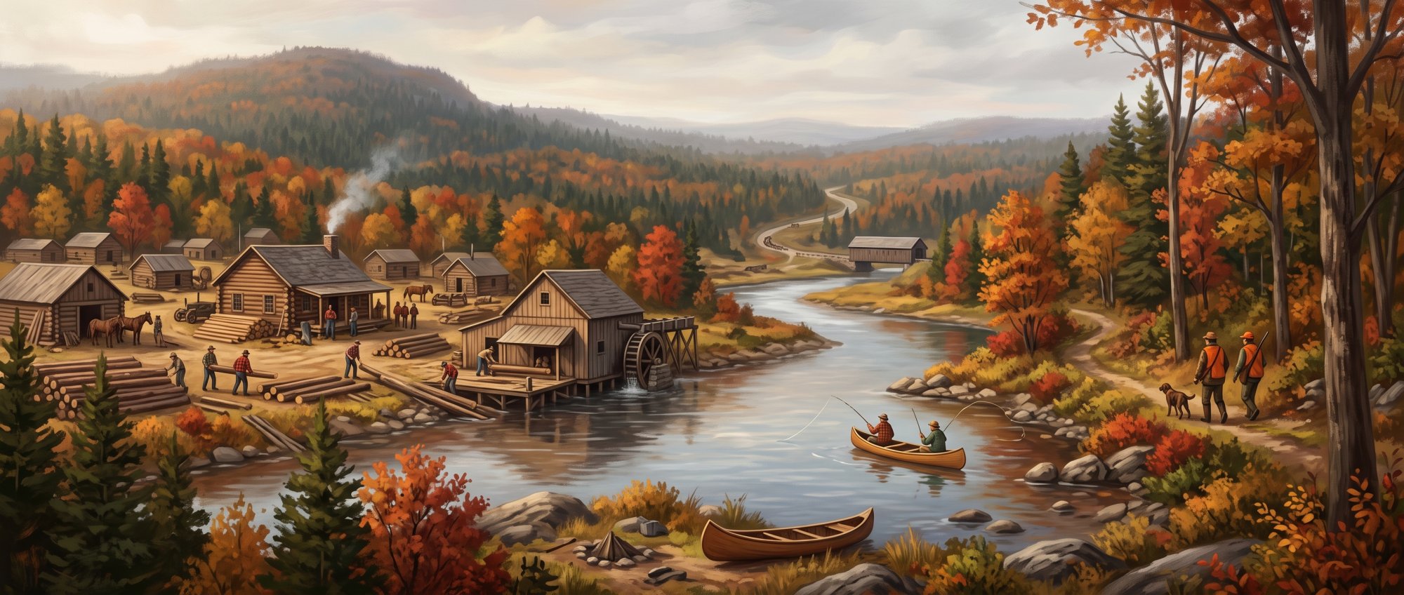
Allagash is an incorporated town situated in northwestern Aroostook County, Maine, covering a land area of 128.6 square miles at an elevation of 853 feet (260 meters) above sea level. Located at the confluence of the Allagash River and the Saint John River, the community had a population of 237 according to the 2020 U.S. Decennial Census, with 142 total households and an estimated median age of 63.5 years. For those planning a trip, exploring Allagash Maine offers a direct look at the northern woods and river country.
Outdoor Recreation
Allagash serves as the northern terminus of the 92-mile Allagash Wilderness Waterway, which was established by the Maine Legislature in 1966, designated as a state-administered National Wild and Scenic River in 1970, and is managed by the Maine Bureau of Parks and Lands within the Department of Agriculture, Conservation and Forestry. A multi-day canoe journey through the waterway concludes at a take-out point in the village of Allagash. Because ice-out occurs in early to mid-May, canoe trips along the waterway are not recommended before May 15.
The town also serves as a base for canoeing on the St. John and Allagash rivers, winter tent camping, and trail riding on regional ATV and snowmobile networks. The local Moosetown Riders snowmobile club is based in Allagash and maintains 87 miles of snowmobile trails.
Economy and Local Services
Because the town marks the end of the waterway, outdoor guiding, outfitting, hunting, and canoeing services form a central pillar of the local economy. Year-round sporting camp and outfitting businesses, including Allagash Guide Service and Allagash Adventures Guide Service, provide lodging, sporting, and river guide services. Within the Allagash ZIP code area (04762), the Census Bureau recorded 8 employer establishments, a median household income of $58,333, and an employment rate of 42.6% for the working-age population. The United States Postal Service also assigns the town ZIP code 04774.
Municipal governance, administrative employment, and several public services are clustered together:
- Allagash Town Office: Located at 1063 Allagash Road.
- Faye O'Leary Hafford Library: Situated at 1063 Allagash Road, offering public library services. Author Faye O'Leary Hafford wrote more than 20 books chronicling Allagash community life, logging history, and local lore.
- Allagash Volunteer Fire Department: Headquartered at 1063 Allagash Road. Wildfire protection and forest ranger services are overseen by the Northern Region office of the Maine Forest Service.
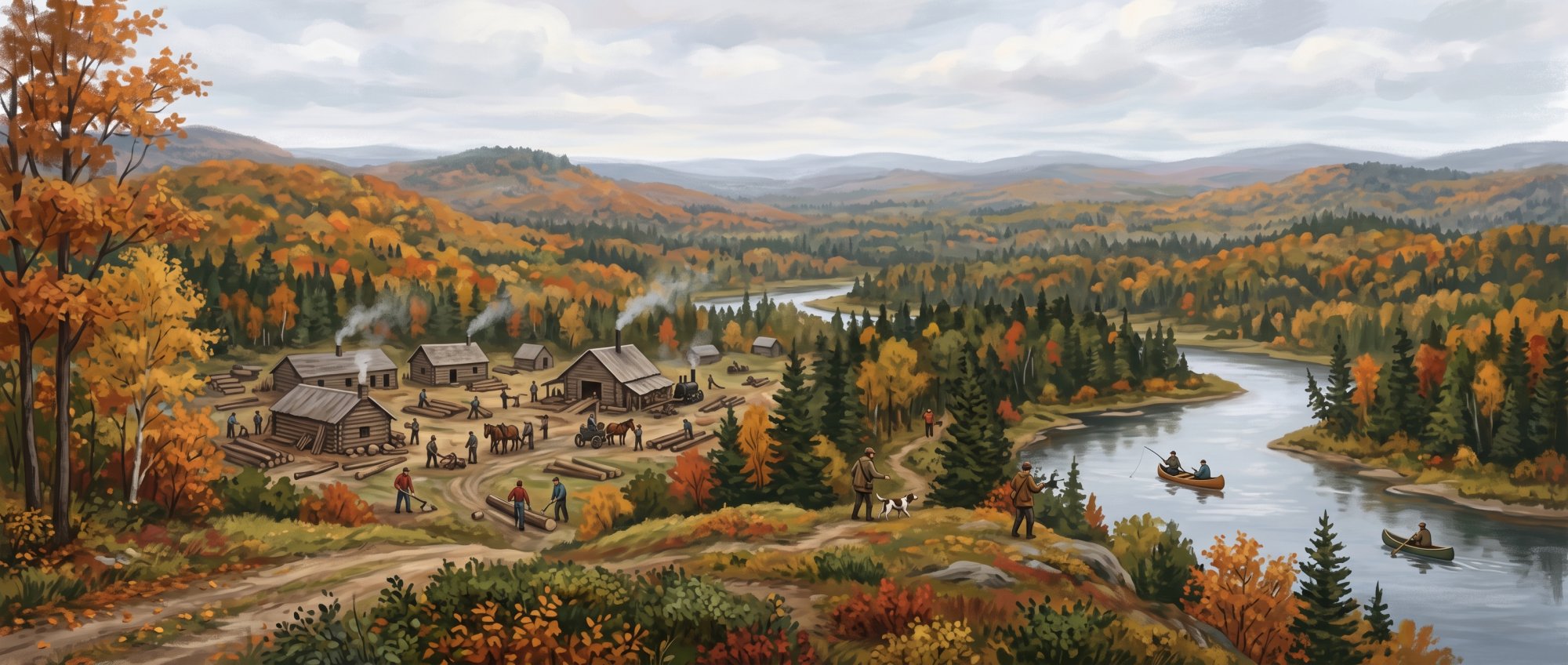
Education
Allagash is served by Maine School Administrative District 27 (MSAD 27), headquartered in neighboring Fort Kent. Public education facilities include:
- Fort Kent Elementary School, serving pre-kindergarten through sixth grade.
- Valley Rivers Middle School, serving seventh and eighth grade.
- Community High School (Fort Kent Community High School), serving grades 9 through 12.
- St. John Valley Technology Center in Frenchville, offering technical and vocational training.
- University of Maine at Fort Kent, located about 30 miles east, serving as the nearest public university.
Local Attractions and Events
The Allagash Historical Society Museum is located at 456 Dickey Road. Maintained as a heritage site under the Maine Acadian Heritage Council and affiliated with the National Park Service's Maine Acadian Culture network, it preserves farming and logging artifacts, military photographs, letters, historic schoolbooks, church records, and exhibits highlighting Irish and Scottish settlers and St. John River log drives.
Community events held throughout the year include:
- Tylor Kelly Allagash Dash: An annual 15-mile spring downriver canoe race running from the confluence of the Allagash and St. John rivers in Allagash to Hart's Landing in St. Francis.
- Annual Independence Day Celebration: A Fourth of July event featuring community activities, pig roasts, cornhole tournaments, and fireworks at The McBreairty Flat on the north shore of the St. John River Bridge.
- Bash in the Gash: An annual autumn gathering and fundraiser hosted by the Moosetown Riders Snowmobile Club, featuring live music, barbecues, and raffles.
Transportation and Access
Maine State Route 161 is the town's principal paved artery, terminating at its northern end near Dickey Road by the confluence of the Allagash and Saint John rivers. This roadway forms the western end of the St. John Valley Cultural Byway, which extends across northern Aroostook County to Hamlin. Route 161 also connects the town to Caribou, located approximately 70 miles away.
Access to surrounding forest territory is regulated through the North Maine Woods network, including the Allagash Checkpoint off Route 161 via Inn Road. The closest commercial airport is Presque Isle International Airport (PQI), roughly two hours away by car.
History of Allagash
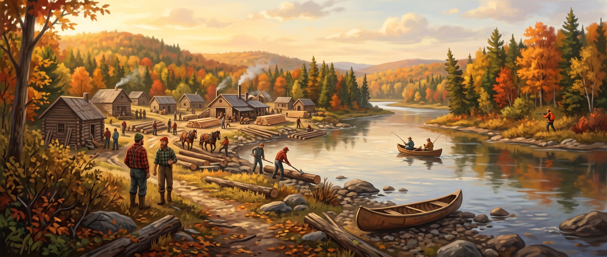
Archaeological records indicate that Native Americans began moving away from the Allagash region in the early 1800s, shortly before lumbering operations and new settlers arrived along the St. John and Allagash rivers. Early non-Native settlers traveled up the St. John River from the Maritime Provinces, including the Gardner family in the second decade of the 19th century, along with families such as the Moores, Kelleys, McBreairtys, Walkers, and Haffords. One of those settlers, John Hafford, appeared in regional census listings between 1820 and 1860, as well as an 1827 New Brunswick provincial list of American citizens possessing lands in Madawaska. Later in the century, the community was organized as Allagash Plantation on June 24, 1886.
On January 31, 1966, Allagash was officially incorporated as a town from Allagash Plantation. That same year, the Maine Legislature established the Allagash Wilderness Waterway to protect 92 miles of interconnected lakes, rivers, and streams running south to north toward Allagash. A few years later, in July 1970, the Allagash was designated as a state-administered unit of the National Wild and Scenic River System.
See the history facts and their sources in Quick facts below.
Quick facts
·
Population
- 2020 Decennial Census population
- According to the 2020 U.S. Decennial Census, the total population of Allagash town was 237.[1]
- 2020 Decennial Population
- The total population for Allagash town was 237 as of the 2020 Decennial Census.[1]
- Historical population change (1990 to 2010)
- Allagash experienced long-term population decline from 359 residents in 1990 to 277 in 2000 and 238 in 2010.[2]
- Median age
- The median age of residents in Allagash town was estimated at 63.5 years.[3]
- Population change between 2010 and 2020
- Between 2010 and 2020, the population of Allagash remained essentially stable, shifting from 238 residents in 2010 to 237 in the 2020 Census.[2]
- Total households
- Allagash town had 142 total households according to American Community Survey estimates reported by the U.S. Census Bureau.[1]
- Total population
- The total population of Allagash is 237.[1]
History (9)
- Creation of the Allagash Wilderness Waterway
- In 1966, the Maine Legislature established the Allagash Wilderness Waterway to protect 92 miles of interconnected lakes, rivers, and streams, running south to north toward Allagash.[4]
- Early Resident Documentation
- Settler John Hafford appeared in regional census listings between 1820 and 1860, as well as an 1827 New Brunswick provincial list of American citizens possessing lands in Madawaska.[5]
- Early Settlers
- Early non-Native settlers came up the St. John River from the Maritime Provinces, including the Gardner family in the second decade of the 19th century, along with families such as the Moores, Kelleys, McBreairtys, Walkers, and Haffords.[5]
- Incorporation
- Allagash was incorporated as a town in 1966.[6]
- Incorporation Year
- Allagash was incorporated as a town from Allagash Plantation on January 31, 1966.[7]
- Indigenous Depopulation and Early Migration
- Archaeological records indicate that Native Americans began moving away from the Allagash region in the early 1800s, shortly before lumbering operations and new settlers moved in along the St. John and Allagash rivers.[8]
- Plantation Organization Date
- Allagash was organized as Allagash Plantation on June 24, 1886.[5]
- Town Incorporation Date
- Allagash was officially incorporated as a town from Allagash Plantation on January 31, 1966.[9]
- Wild and Scenic River Designation
- In July 1970, the Allagash was designated as a state-administered unit of the National Wild and Scenic River System.[4]
Government (1)
- ZIP Code
- Allagash is assigned ZIP code 04774 by the United States Postal Service.[10]
Schools (6)
- Career and technical training center
- Students in the district can access technical and vocational coursework through the St. John Valley Technology Center, located in Frenchville, Maine.[11]
- District public elementary school
- Fort Kent Elementary School serves pre-kindergarten through sixth grade students in MSAD 27.[12]
- District public high school
- Community High School (Fort Kent Community High School) serves students in grades 9 through 12 across the district.[12]
- District public middle school
- Valley Rivers Middle School provides education for seventh and eighth grade students in MSAD 27.[12]
- Regional higher education institution
- The nearest public university serving the area is the University of Maine at Fort Kent, located approximately 30 miles east of Allagash.[13]
- School administrative district
- Allagash is served by Maine School Administrative District 27 (MSAD 27), which is headquartered in neighboring Fort Kent.[14]
Economy (7)
- Employer Establishments Count
- The Census Bureau's County Business Patterns recorded 8 total employer establishments within the Allagash ZIP code area (04762).[15]
- Employment Rate
- The employment rate for the working-age population in the Allagash ZIP code area (04762) is 42.6%.[15]
- Local Outfitting Employers
- Local sporting camp and outfitting businesses, including Allagash Guide Service and Allagash Adventures Guide Service, operate year-round providing lodging, sporting, and river guide services.[16]
- Median Household Income
- According to the U.S. Census Bureau American Community Survey 5-Year Estimates for ZIP Code Tabulation Area 04762 (Allagash), the median household income is $58,333.[15]
- Municipal Administration
- Municipal governance and administrative employment in the town are centered at the Allagash Town Office located at 1063 Allagash Road.[17]
- Outdoor Recreation and Guiding Economy
- Because Allagash serves as the northern terminus of the 92-mile Allagash Wilderness Waterway, outdoor guiding, outfitting, hunting, and canoeing services form a central pillar of the local service economy.[18]
- Total Land Area
- Allagash covers a total land area of 128.6 square miles in Aroostook County, Maine.[1]
Landmarks (4)
- Allagash Historical Society Museum collections
- The Allagash Historical Society Museum displays artifacts documenting the area's Irish and Scottish settlers, logging operations, farming history, churches, schools, and military service.[19]
- Allagash Historical Society Museum location
- The Allagash Historical Society Museum is located at 456 Dickey Road in Allagash, Maine.[19]
- Maine Acadian Heritage Council partnership
- The Allagash Historical Society/Museum is maintained as a heritage site highlighting logging, farming, and St. John River log drives under the Maine Acadian Heritage Council.[20]
- National Park Service affiliation
- Artifacts from the Allagash Historical Society Museum and historic resources in the Allagash area are featured as cultural sites within the National Park Service's Maine Acadian Culture network.[21]
Recreation (6)
- Allagash River and Waterway Administration
- The Allagash Wilderness Waterway is managed by the Maine Bureau of Parks and Lands within the Department of Agriculture, Conservation and Forestry.[22]
- Allagash Wilderness Waterway Designation
- Established by the Maine Legislature in 1966 and designated as a state-administered National Wild and Scenic River in 1970, the Allagash Wilderness Waterway spans 92 miles of protected lakes, rivers, and streams that culminate in the town of Allagash.[23]
- ATV and Winter Camping Access
- Allagash is connected to regional ATV and snowmobile networks and serves as a base for trail riding, canoeing on the St. John and Allagash Rivers, and winter tent camping.[24]
- Canoe Route Take-Out in Allagash
- The classic multi-day canoe journey through the Allagash Wilderness Waterway concludes with a take-out point located in the village of Allagash.[25]
- Moosetown Riders Snowmobile Club
- The Moosetown Riders snowmobile club is based in Allagash and maintains 87 miles of snowmobile trails.[26]
- Paddling Season Conditions
- Due to annual ice-out occurring in early to mid-May, canoe trips along the Allagash Waterway are not recommended before May 15.[22]
Events (3)
- Annual Independence Day Celebration and Fireworks
- Allagash holds an annual Fourth of July celebration featuring community activities, pig roasts, cornhole tournaments, and a major fireworks display at The McBreairty Flat on the north shore of the St. John River Bridge.[27]
- Bash in the Gash
- Bash in the Gash is an annual autumn community gathering and fundraiser hosted in Allagash by the Moosetown Riders Snowmobile Club, featuring live music, barbecues, and raffles.[28]
- Tylor Kelly Allagash Dash Canoe Race
- The Tylor Kelly Allagash Dash is an annual 15-mile spring downriver canoe race running from the confluence of the Allagash and St. John rivers in Allagash to Hart's Landing in St. Francis.[29]
Culture (5)
- Allagash Historical Society Location and Holdings
- Located at 456 Dickey Road in Allagash, the Allagash Historical Society preserves farming and logging artifacts, military photographs, letters, historic schoolbooks, and church records.[30]
- Indigenous History of the Allagash Region
- Archaeological records document thousands of years of Native American occupation in the Allagash area through the Archaic and Ceramic periods, before populations moved away in the early 1800s.[31]
- Local Literary Heritage
- Local author and educator Faye O'Leary Hafford wrote more than 20 books chronicling Allagash community life, logging history, and local lore.[32]
- Public Library
- Public library services in the town are provided by the Faye O'Leary Hafford Library, situated at 1063 Allagash Road.[33]
- Settler Heritage and Allagash Historical Society Museum
- The Allagash Historical Society Museum highlights the Irish and Scottish heritage of the settlers of Allagash, featuring exhibits on farming, lumbering, and St. John River log drives.[34]
Transportation (5)
- Distance to Caribou
- Allagash and the city of Caribou are separated by approximately 70 miles along Route 161.[35]
- Forest road access
- Beyond its public paved corridor, access to surrounding logging and recreation territory is regulated through the North Maine Woods network, including the Allagash Checkpoint located off Route 161 via Inn Road.[36]
- Primary highway access
- Maine State Route 161 runs through Allagash, serving as the town's principal paved artery and terminating at its northern end near Dickey Road by the confluence of the Allagash and Saint John rivers.[37]
- Regional commercial airport
- The closest commercial service airport serving the broader region is Presque Isle International Airport (PQI), located in Presque Isle roughly two hours away by car.[38]
- Scenic byway designation
- Maine State Route 161 in Allagash forms the western end of the St. John Valley Cultural Byway, which extends across northern Aroostook County to Hamlin.[39]
Services (3)
- Allagash Volunteer Fire Department
- Fire protection services in the town are provided by the Allagash Volunteer Fire Department, headquartered at 1063 Allagash Road.[40]
- Faye O'Leary Hafford Library
- The town is served by the Faye O'Leary Hafford Library, located at 1063 Allagash Road in Allagash.[41]
- Forest fire protection
- Wildfire protection and forest ranger services for Allagash fall under the Northern Region office of the Maine Forest Service.[42]
Geography (10)
- confluence of major rivers
- Allagash is situated at the confluence of the Allagash River and the Saint John River.[43]
- county location
- Allagash is an incorporated town situated in northwestern Aroostook County, Maine.[7]
- elevation
- Allagash has an elevation of 853 feet (260 meters) above sea level.[7]
- Land area
- Allagash has a land area of 128.6 square miles.[1]
- land area
- According to the U.S. Census Bureau, Allagash town covers a land area of 128.6 square miles.[1]
- Little Black River tributary
- The Little Black River enters and converges with the Saint John River within the town of Allagash.[44]
- Location
- Allagash is located in Aroostook County, Maine.[1]
- neighboring town
- Allagash lies immediately upriver and west of the town of Saint Francis along Maine State Route 161.[45]
- total and water area
- The town encompasses a total area of 131.42 square miles, consisting of 128.61 square miles of land and 2.81 square miles of water.[7]
- Total Area
- According to the United States Census Bureau, the town covers a total area of 131.42 square miles, consisting of 128.61 square miles of land and 2.81 square miles of water.[7]
Businesses in Allagash
Map of Allagash
Nearby communities
All communities in The County
St. John Valley
Central Aroostook
Southern Aroostook
Sources (45)
- Allagash town, Aroostook County, Maine - Census Bureau Profile — data.census.gov , viewed Oct 9, 2026
- Town County Total percent change, 2010-2030 - Maine.gov — maine.gov , viewed Oct 9, 2026
- DP05ACS Demographic and Housing Estimates - Explore Census Data — data.census.gov , viewed Oct 9, 2026
- Allagash Wilderness Waterway Foundation: Preserving a very special wild river and its legacy | Maine Boats Homes & Harbors — vertexaisearch.cloud.google.com , viewed Oct 9, 2026
- Allagash Plantation, Aroostook Co., Maine - Upper St.John River Valley — vertexaisearch.cloud.google.com , viewed Oct 9, 2026
- Allagash - Undiscovered Maine — umaine.edu , viewed Oct 9, 2026
- Allagash, Maine - Wikipedia — en.wikipedia.org , viewed Oct 9, 2026
- Allagash History: Parks and Public Lands: Maine DACF — vertexaisearch.cloud.google.com , viewed Oct 9, 2026
- Allagash, Aroostook County, Maine Genealogy - FamilySearch — vertexaisearch.cloud.google.com , viewed Oct 9, 2026
- Town - Maine.gov — maine.gov , viewed Oct 9, 2026
- Career and Technical Education Schools | Department of Education - Maine.gov — maine.gov , viewed Oct 9, 2026
- Maine School Administrative District #27 — sad27.org , viewed Oct 9, 2026
- General Information - UMFK - UMS - University of Maine System — umfk.edu , viewed Oct 9, 2026
- Maine School Administrative District 27 - Wikipedia — en.wikipedia.org , viewed Oct 9, 2026
- ZCTA5 04762 - Census Data — data.census.gov , viewed Oct 9, 2026
- Allagash Guide Service: Northern Maine Bear Hunting & Canoe Trips — allagashguideservice.com , viewed Oct 9, 2026
- Town of Allagash - Greater Fort Kent Area Chamber of Commerce — fortkentchamber.com , viewed Oct 9, 2026
- Allagash Wilderness Waterway - Maine.gov — maine.gov , viewed Oct 9, 2026
- Allagash Historical Society | SOS - Maine.gov — maine.gov , viewed Oct 9, 2026
- Sites - Maine Acadian Heritage Council — acadianheritagecouncil.org , viewed Oct 9, 2026
- Allagash - Maine Acadian Culture (U.S. National Park Service) — nps.gov , viewed Oct 9, 2026
- Allagash Wilderness Waterway - Maine.gov — maine.gov , viewed Oct 9, 2026
- Allagash Wilderness Waterway - Maine Trail Finder — mainetrailfinder.com , viewed Oct 9, 2026
- Discover Adventures - Allagash Destinations — allagashdestinations.com , viewed Oct 9, 2026
- Allagash Wilderness Waterway; where adventure awaits - Visit Aroostook — visitaroostook.com , viewed Oct 9, 2026
- Moosetown Riders - Allagash Maine - Snowmobile Club — moosetownriders.com , viewed Oct 9, 2026
- Where to watch fireworks and celebrate America's 250th in northern Maine - The County — thecounty.me , viewed Oct 9, 2026
- 2ND ANNUAL BASH IN THE GASH (Allagash) - University of Maine at Fort Kent — umfk.edu , viewed Oct 9, 2026
- 7 Canoe races to paddle this year - Visit Aroostook — visitaroostook.com , viewed Oct 9, 2026
- Allagash Historical Society | SOS - Maine.gov — vertexaisearch.cloud.google.com , viewed Oct 9, 2026
- Allagash History: Parks and Public Lands: Maine DACF — vertexaisearch.cloud.google.com , viewed Oct 9, 2026
- Allagash's Faye O'Leary Hafford leaves legacy of town library and so much more — vertexaisearch.cloud.google.com , viewed Oct 9, 2026
- Faye O'Leary Hafford Library - Maine.gov — vertexaisearch.cloud.google.com , viewed Oct 9, 2026
- Basic Information - Maine Acadian Culture (U.S. National Park Service) — vertexaisearch.cloud.google.com , viewed Oct 9, 2026
- How Susan Collins' and Troy Jackson's Aroostook roots are shaping their US Senate race — thecounty.me , viewed Oct 9, 2026
- Allagash - Checkpoints - North Maine Woods — northmainewoods.org , viewed Oct 9, 2026
- Maine State Route 161 - Wikipedia — en.wikipedia.org , viewed Oct 9, 2026
- Canoe the Allagash River Wilderness Waterway, Maine | Sierra Club Outings — content.sierraclub.org , viewed Oct 9, 2026
- Transportation | NMDC - Northern Maine Development Commission — nmdc.org , viewed Oct 9, 2026
- Allagash Volunteer Fire Department - Station Boss — vertexaisearch.cloud.google.com , viewed Oct 9, 2026
- Faye O'Leary Hafford Library - Maine.gov — vertexaisearch.cloud.google.com , viewed Oct 9, 2026
- How to contact your local Forest Ranger: Forest Protection: Division of Forestry - Maine.gov — vertexaisearch.cloud.google.com , viewed Oct 9, 2026
- A River in Space and Time—Ecology, Plant Communities, and Conservation in the Allagash Wilderness Waterway - BioOne Complete — bioone.org , viewed Oct 9, 2026
- Federal Register/Vol. 67, No. 213/Monday, November 4, 2002/Rules and Regulations - GovInfo.gov — govinfo.gov , viewed Oct 9, 2026
- The Other Maine - ONE New England — onenewengland.com , viewed Oct 9, 2026