Crystal
A southern Aroostook County community
Weather in Crystal
Loading the forecast…
 Your logo here
This page could be sponsored
Your business name here
Sponsor This Page
Crystal is located in southern Aroostook County and was named after the pristine clarity of its local waters. First settled in 1839 and incorporated as a town in 1901, the community has a rich heritage rooted in farming and logging.
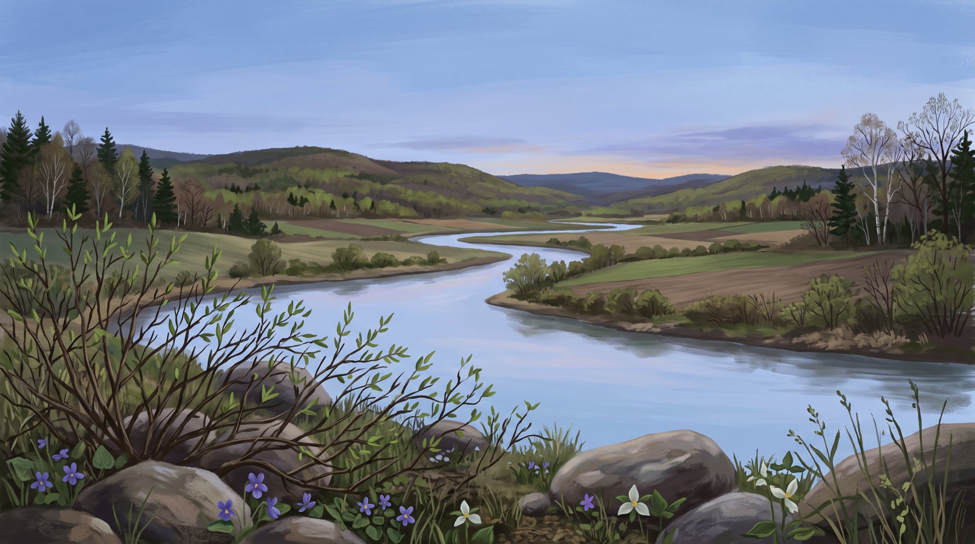
About Crystal, Maine
Located in southern Aroostook County in northeastern Maine, Crystal sits along the southwestern border with Penobscot County. The town covers a total area of 40.43 square miles, made up of 40.40 square miles of land and 0.03 square miles of water, at an elevation of 486 feet above sea level. It borders Hersey to the north, Island Falls to the east, Sherman to the south, and Patten to the west. Local waterways running through the area include Fish Stream, Caldwell Brook, Lufman Brook, and Collison Brook. Crystal uses the ZIP code 04747.
For those researching Crystal Maine, it is a rural community where the population dropped from 285 in 2000 to 269 in 2010, and stood at 248 residents as of the 2020 census. At the 2010 census, there were 115 households, including 84 family households, with a median age of 51.8 years. An American Community Survey estimate reported by World Population Review placed the estimated median age at 63.2 years as of 2026. Farming and logging serve as the town's primary traditional industries, and the median household income was $48,542 in 2022.
Outdoor Recreation and Crystal Bog
The Crystal Bog Focus Area includes a 1,400-acre domed bog ecosystem and circumneutral fen, designated as a National Natural Landmark by the U.S. Department of the Interior. Public access is available through The Nature Conservancy's Crystal Bog Preserve. Visitors can explore the area, which is also called the 1,000 Acre Bog, along the 6-mile multi-use Cow Team Road. In addition, the Patten-Sherman Multi-Use Trail, overseen by the Maine Bureau of Parks and Lands, provides public recreational access within the focus area.

Education
Crystal is part of Regional School Unit #50 (RSU 50), along with Dyer Brook, Hersey, Island Falls, Merrill, Oakfield, and Smyrna. Crystal holds one seat on the RSU 50 school board. Students in grades PK through 12 attend Southern Aroostook Community School in Dyer Brook. High school students can access career and technical education programs at the Region Two School of Applied Technology in Houlton. Southern Aroostook Community School offers co-curricular theater, band, Young Authors programs, and arts instruction. RSU 50 also provides adult education programming and operates library media services with online catalog access for students and families.
Transportation and Emergency Services
State Route 159, also known as Crystal Road, passes through Crystal, connecting west toward Patten and east toward Island Falls and U.S. Route 2. Interstate 95 runs through neighboring communities, with Exit 276 located minutes away in Island Falls. Near the Sherman town line, the Crystal Station Road Bridge crosses over Interstate 95. Aroostook Regional Transportation System (ARTS) delivers public regional transit services, and Houlton International Airport provides general aviation facilities about 25 to 30 miles east in Houlton.
Fire protection coverage for Crystal is provided by neighboring departments, including the Patten Fire Department, with mutual aid agreements in place with the Island Falls Fire Department. Law enforcement responses, investigations, and arrests are carried out by the Maine State Police, the Aroostook County Sheriff's Office, and regional agencies such as the Houlton Police Department.

History of Crystal
The history of Crystal began when William Young from Searsmont arrived in 1839 as the first recorded settler. The town, along with Crystal Lake and Crystal Stream, received its name from the pristine clarity of the local waters. In 1840, the community was organized as Crystal Plantation from Township 4, Range 5 WELS and Township 5, Range 5 WELS.
Over the years, local logging and farming sustained the area, and Crystal historically served as a busy railroad hub for shipping potatoes southward. The community officially became an incorporated town on March 21, 1901.
See the history facts and their sources in Quick facts below.
Quick facts
·
Population
- 2000 to 2010 Population Change
- Between the 2000 and 2010 decennial censuses, the population of Crystal declined from 285 to 269 residents, a drop of 5.6%.[1]
- 2010 Households
- At the 2010 census, there were 115 households residing in Crystal, with 84 of them classified as family households.[1]
- 2010 Median Age
- At the 2010 census, the median age of Crystal residents was 51.8 years.[2]
- 2010 to 2020 Population Change
- The town's population decreased from 269 residents in 2010 to 248 residents in 2020, representing a decline of 7.8%.[1]
- 2020 Census Population
- The town of Crystal had a population of 248 according to the 2020 United States Census.[1]
- 2020 Census Population
- According to the 2020 decennial census, Crystal had a total population of 248 residents.[1]
- Estimated Median Age
- According to American Community Survey estimates reported by World Population Review, the estimated median age in Crystal reached 63.2 years.[3]
History (7)
- First Settler
- William Young from Searsmont arrived in 1839 as the first recorded settler in what is now Crystal.[4]
- Historic Potato Shipping Hub
- In addition to local logging and farming industries, Crystal historically served as a busy railroad hub for shipping potatoes southward.[5]
- Incorporation Year
- Originally organized as Crystal Plantation, the community was incorporated as a town in 1901.[6]
- Origin of the Name
- The town, along with Crystal Lake and Crystal Stream, was named for the pristine clarity of the local waters.[5]
- Plantation Organization
- Prior to town incorporation, Crystal Plantation was organized in 1840 from Township 4, Range 5 WELS and Township 5, Range 5 WELS.[6]
- Settlement and Incorporation Dates
- Crystal was first settled in the mid-19th century and officially incorporated as a town in 1901.[5]
- Town Incorporation Date
- Crystal officially became an incorporated town on March 21, 1901.[4]
Schools (5)
- Adult Education
- RSU 50 provides adult education programming for residents within its member communities.[7]
- Career and Technical Education Access
- High school students from Southern Aroostook Community School have access to career and technical education programs through Region Two School of Applied Technology in Houlton, Maine.[8]
- Local Public School
- Public school students in RSU 50 attend Southern Aroostook Community School in Dyer Brook, Maine, which serves grades PK through 12.[7]
- RSU 50 Governance Representation
- Under Maine Department of Education apportionment records, the town of Crystal has one director on the RSU 50 school board.[9]
- School District Serving Crystal
- The town of Crystal is served by Regional School Unit #50 (RSU 50), which also serves Dyer Brook, Hersey, Island Falls, Merrill, Oakfield, and Smyrna.[7]
Economy (3)
- 2020 Census population
- According to the 2020 United States Decennial Census, Crystal had a total population of 248 residents.[1]
- Median household income
- According to state demographic and income data, the median household income for Crystal town was $48,542 in 2022.[10]
- Primary industries
- Crystal's primary traditional industries are farming and logging, and the town historically served as a busy site for shipping potatoes via railroad.[11]
Recreation (4)
- Cow Team Road Multi-Use Trail
- The Crystal Bog area, also referred to as the 1,000 Acre Bog, can be accessed and explored via the 6-mile multi-use Cow Team Road.[12]
- Crystal Bog Preserve
- The Crystal Bog Focus Area includes the 1,400-acre Crystal Bog domed bog ecosystem and circumneutral fen, which offers public access through The Nature Conservancy's Crystal Bog Preserve.[13]
- National Natural Landmark Designation
- Crystal Bog in Maine is recognized as a National Natural Landmark by the U.S. Department of the Interior for its significant domed peatland ecosystem.[14]
- Patten-Sherman Multi-Use Trail
- The Patten-Sherman Multi-Use Trail, overseen by the Maine Bureau of Parks and Lands, provides public recreational access within the Crystal Bog Focus Area.[13]
Culture (6)
- Civil War Era Records
- The Maine State Archives preserves correspondence and municipal documentation from Crystal Plantation dating from 1862 through 1867 regarding wartime logistics and hardships.[15]
- First European Settler
- William Young from Searsmont arrived in 1839 as the first recorded white settler in what is now Crystal.[4]
- School Arts and Co-Curricular Programs
- Crystal students attend Regional School Unit 50's Southern Aroostook Community School, which provides co-curricular theater, band, Young Authors programs, and arts instruction.[16]
- School District Library Access
- RSU 50 operates library media services and online catalog access serving students and families from Crystal and neighboring Southern Aroostook communities.[16]
- Settlement and Naming Heritage
- Settled in the mid-19th century and incorporated in 1901, Crystal, along with Crystal Lake and Crystal Stream, was named for its clear waters.[5]
- Traditional Industries and Heritage
- Farming and logging serve as Crystal's primary historic industries, and the town previously functioned as a busy hub for shipping potatoes southward via rail.[5]
Transportation (5)
- Crystal Station Road Bridge
- The Crystal Station Road Bridge crosses over Interstate 95 near the town boundary with Sherman.[17]
- Interstate 95 Corridor Access
- Interstate 95 traverses the region through neighboring towns, with Exit 276 located in neighboring Island Falls just minutes from Crystal.[18]
- Public Transit Coverage
- Public regional transit services for Crystal are provided by Aroostook Regional Transportation System (ARTS).[19]
- Regional Airport Access
- Houlton International Airport, located roughly 25 to 30 miles east in Houlton, offers public-use general aviation facilities.[20]
- State Route 159
- State Route 159 (Crystal Road) runs through Crystal, connecting the town westward toward Patten and eastward toward Island Falls and U.S. Route 2.[21]
Services (3)
- Fire and Emergency Mutual Aid
- The neighboring Island Falls Fire Department maintains a mutual aid agreement for fire protection services covering Crystal and surrounding towns.[22]
- Fire Protection Coverage
- The town of Crystal receives emergency fire response from neighboring fire departments, including the Patten Fire Department.[23]
- Law Enforcement Services
- Criminal investigations, major emergency incident responses, and arrests in the town of Crystal are handled by the Maine State Police, the Aroostook County Sheriff's Office, and regional law enforcement agencies such as the Houlton Police Department.[24]
Geography (9)
- Bodies of water and streams
- Local streams flowing through the town include Fish Stream, Caldwell Brook, Lufman Brook, and Collison Brook.[25]
- Bordering communities
- Crystal is bordered by Hersey to the north, Island Falls to the east, Sherman to the south, and Patten in Penobscot County to the west.[1]
- Elevation
- The elevation of Crystal is recorded at 486 feet above sea level.[26]
- Land area
- The land area of Crystal measures approximately 40.40 square miles (104.64 square kilometers).[1]
- Location within Aroostook County
- Crystal is located in southern Aroostook County in northeastern Maine, along the county's southwestern border with Penobscot County.[1]
- Total Area
- Crystal encompasses a total area of 40.43 square miles, consisting of 40.40 square miles of land and 0.03 square miles of water.[1]
- Total area
- According to the U.S. Census Bureau, the town of Crystal encompasses a total area of 40.43 square miles (104.71 square kilometers).[1]
- Water area
- Crystal has a water area of approximately 0.03 square miles (0.08 square kilometers).[1]
- ZIP Code
- Crystal is served by ZIP code 04747.[27]
Businesses in Crystal
Map of Crystal
Nearby communities
All communities in The County
St. John Valley
Central Aroostook
Southern Aroostook
Sources (27)
- Crystal, Maine - Wikipedia — en.wikipedia.org , viewed Oct 10, 2026
- Crystal, Maine Facts for Kids — kids.kiddle.co , viewed Oct 10, 2026
- Crystal town, Maine Population 2026 — worldpopulationreview.com , viewed Oct 10, 2026
- Crystal - The Story - Mooers Realty — mooersrealty.com , viewed Oct 10, 2026
- Crystal - Undiscovered Maine — umaine.edu , viewed Oct 10, 2026
- Maine Plantations - FamilySearch — familysearch.org , viewed Oct 10, 2026
- WELCOME - RSU 50 — rsu50.org , viewed Oct 10, 2026
- CTE Center List | MaineCTE — mainecte.org , viewed Oct 10, 2026
- Regional School Units (RSUs) | Department of Education - Maine.gov — maine.gov , viewed Oct 10, 2026
- Income 2022 2012 2022 % Change Maine 68251 1327729 1389338 4.64% Abbot town, Piscataquis County, Maine 61250 702 647 - Maine.gov — maine.gov , viewed Oct 10, 2026
- Crystal - Undiscovered Maine — umaine.edu , viewed Oct 10, 2026
- Waterfront: Beaches, Swimming, Boating, & Fishing - The University of Maine — umaine.edu , viewed Oct 10, 2026
- Crystal Bog Focus Area - Maine.gov — maine.gov , viewed Oct 10, 2026
- NATURAL HISTORY in the NATIONAL PARK SYSTEM and on the NATIONAL REGISTRY of NATURAL LANDMARKS — nps.gov , viewed Oct 10, 2026
- Crystal Plantation, 1862 - 1867 | Maine State Archives - ArchivesSpace — archives.maine.gov , viewed Oct 10, 2026
- WELCOME - RSU 50 — rsu50.org , viewed Oct 9, 2026
- Multimodal Six-Year Transportation Capital Improvement Plan - Greater Portland Council of Governments — gpcog.org , viewed Oct 10, 2026
- 018769.23, Crystal - Region 5 | Maine Department of Transportation — maine.gov , viewed Oct 10, 2026
- Public Transit Services in Maine | Maine Department of Transportation - Maine.gov — maine.gov , viewed Oct 9, 2026
- Airport - Town of Houlton — houlton-maine.com , viewed Oct 10, 2026
- 023328.00, Crystal - Region 5 | Maine Department of Transportation — maine.gov , viewed Oct 10, 2026
- Fire chief back on duty in Island Falls - The County — thecounty.me , viewed Oct 10, 2026
- Aroostook man accused of trying to burn down mobile home he was renting - The County — thecounty.me , viewed Oct 10, 2026
- Crystal Man Charged With Arson Following Mobile Home Fire - Scanner Alerts Media Group — scanneralerts.com , viewed Oct 10, 2026
- USGS 1:24000-scale Quadrangle for Crystal, ME 1989 - prd-tnm.s3.amazonaws.com — prd-tnm.s3.amazonaws.com , viewed Oct 10, 2026
- Aroostook County Elevations - Cooperative Extension: Food & Health — extension.umaine.edu , viewed Oct 10, 2026
- Crystal, Maine ZIP Code - United States — en.codigo-postal.co , viewed Oct 10, 2026