Caswell
Where open farmland meets the quiet beauty of life near the canadian border.
Weather in Caswell
Loading the forecast…
 Your logo here
This page could be sponsored
Your business name here
Sponsor This Page
Caswell is a rural municipality in Aroostook County, Maine, that spans 41.56 square miles. The community was first organized in 1879 as Pleasant Ridge Plantation and named after early settler R.S. Caswell. It is home to the Dawn F. Barnes Elementary School.
About Caswell Maine
Caswell Maine is a town situated in northeastern Aroostook County, Maine, along the Canada–United States border. The town sits at an elevation of 794 feet (242 meters) and encompasses a total area of 41.56 square miles (107.64 square kilometers), consisting of 41.30 square miles of land and 0.26 square miles of water. Local bodies of water include Butterfield Lake, Little Black Brook Lake, and Gerard Pond. The town is served by postal ZIP code 04750.
Within Maine, Caswell borders Hamlin to the north, Limestone to the south, and the unorganized territory of Connor to the west. Along the international boundary to the east and southeast, it borders Grand Falls and Drummond Parish in New Brunswick, Canada.
Community and Local Economy
In the 2020 decennial census, Caswell recorded a total population of 293 residents, down from 306 in 2010. Five-year American Community Survey estimates report 111 households and a median age of 33.7 years. According to Census Bureau data, the median household income is $43,173, the per capita income is $32,813, and the poverty rate is 31.69%.
Commercial activity includes locally owned enterprises, managed woodland parcels subject to Maine Forest Service timber harvesting standards, and tourism tied to the Aroostook National Wildlife Refuge. The Caswell School Department serves as a primary local employer.
Education and Municipal Services
The Caswell municipal office and town clerk are located at 1025 Van Buren Road. The Caswell School Department operates Dawn F. Barnes Elementary School at the same address. The school serves students in pre-kindergarten through grade 8, shares a superintendent with Limestone Community School, and is a member of the Central Aroostook Council on Education (CACE).
Emergency and protective services are coordinated with neighboring communities and regional agencies:
- Fire protection: Contracted through the neighboring Limestone Fire Department.
- Ambulance services: The town contracts with the City of Caribou Fire and Emergency Medical Services department for 24/7 primary response and emergency transport.
- Law enforcement: Provided by the Aroostook County Sheriff's Office and the Maine State Police.
- Public transit: Public transportation is available through Aroostook Regional Transportation Systems, Inc. (ARTS).
Landmarks and Recreation
Caswell contains several outdoor sites, historic locations, and recreation trails:
- Aroostook National Wildlife Refuge: A portion of this 5,252-acre refuge lies within Caswell, offering hiking, wildlife viewing, cross-country skiing, and snowshoeing. The 8.7-mile Visitor Center & Bunker Trails network spans Caswell and Limestone.
- Public Reserved Lots: The Maine Bureau of Parks and Lands oversees public reserved lots in town under its Northern Aroostook Region Management Plan.
- Snowmobiling: The Caswell-based Pleasant Ridge Riders Snowmobile Club maintains local trails that link with the broader regional network in Aroostook County.
- Boundary Marker: International Boundary Monument 109A stands along the United States–Canada border in Caswell.
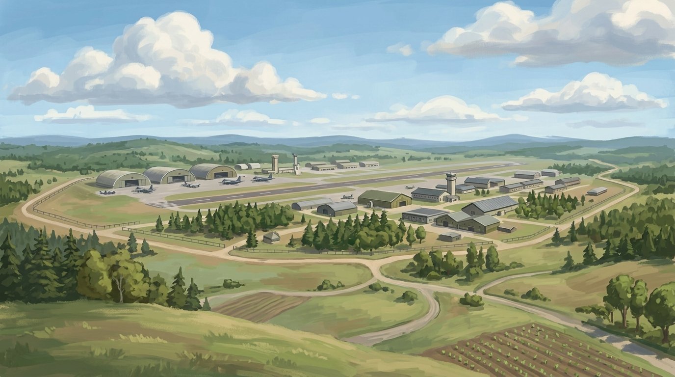
- Former Nike Site: The town contains the Cold War-era LO-13 Nike missile installation, featuring a 17-acre launch parcel with three missile silos off Route 1A and a separate control parcel to the northwest.
- Local Heritage: Regional artifacts and records are preserved through the Limestone-Caswell Historical Society Museum.
Transportation
U.S. Route 1A runs directly through Caswell, connecting to Limestone to the south and Hamlin to the north. The St. John Valley Cultural/Fish River Scenic Byway begins at the Caswell town line and heads northwest across northern Aroostook County. Commercial flights are available via Presque Isle International Airport (PQI) in nearby Presque Isle.
History of Caswell
Originally designated as Township F, Range 1 (F.R. 1), the community was first organized as Pleasant Ridge Plantation in 1878. Settlement picked up when R.S. Caswell moved here in 1879 as the first settler, followed soon after by Charles Herd and his family as some of the earliest arrivals. On April 14, 1879, the plantation was reorganized and named after R.S. Caswell. Local enterprise grew over the years, marked in 1900 by the Limestone Mining Company establishing a mill for grinding limestone on Willard Road, which operated until the 1940s.
National defense reached Caswell around 1951 with the establishment of a military radar site and an army missile site. Decades later, on July 16, 1986, Caswell officially became an incorporated town. Later still, in 1998, 4,700 acres of the former Loring Air Force Base were transferred to the U.S. Fish and Wildlife Service to establish the Aroostook National Wildlife Refuge, which extends into the town.
See the history facts and their sources in Quick facts below.
Quick facts
·
Population
- 2010 Census Population
- According to U.S. Census Bureau records, Caswell had an official population of 306 in the 2010 census.[1]
- 2010 Households
- At the 2010 census, there were 134 households in Caswell.[1]
- 2010 Median Age
- The median age of residents in Caswell was 45.3 years as of the 2010 census.[1]
- 2010 to 2020 Population Change
- Between 2010 and 2020, Caswell's population decreased from 306 to 293, representing a decline of 4.2%.[1]
- 2020 Census Population
- Caswell recorded a total population of 293 in the 2020 Decennial Census.[1]
- 2020 Decennial Census Population
- Caswell had a total population of 293 as of the 2020 U.S. Census.[1]
- 2020 population
- Caswell recorded a total population of 293 residents during the 2020 decennial census.[1]
- American Community Survey Households Estimate
- According to 5-year American Community Survey estimates reported via Census Reporter, Caswell had an estimated 111 households.[2]
- American Community Survey Median Age Estimate
- According to 5-year American Community Survey estimates, the median age in Caswell was 33.7 years.[2]
- Historical Peak and Population Decline
- Caswell reached a recorded peak census population of 853 in 1960 before experiencing significant long-term decline, in part following the 1994 closure of nearby Loring Air Force Base.[1]
History (10)
- Aroostook National Wildlife Refuge creation
- In 1998, 4,700 acres of the former Loring Air Force Base were transferred to the U.S. Fish and Wildlife Service to establish the Aroostook National Wildlife Refuge, which extends into Caswell.[3]
- Cold War military installations
- A military radar site and an army missile site were established in Caswell around 1951.[4]
- Early settler Charles Herd
- Charles Herd was one of the earliest settlers to arrive after R.S. Caswell, moving in with his family.[3]
- First settler
- R.S. Caswell was the first settler in the community, moving there in 1879.[4]
- Incorporation Date
- Caswell was originally organized as Pleasant Ridge Plantation in 1879 and incorporated as a town on July 16, 1986.[5]
- Limestone Mining Company Mill establishment
- In 1900, a mill for grinding limestone was established on Willard Road by the Limestone Mining Company and operated until the 1940s.[4]
- Original designation and plantation organization
- Caswell was originally designated as Township F, Range 1 (F.R. 1) and was first organized as Pleasant Ridge Plantation in 1878.[3]
- Plantation reorganization and naming
- The plantation was reorganized on April 14, 1879, and named after its first settler, R.S. Caswell.[4]
- Settlement and naming
- The community was organized on April 14, 1879, as Pleasant Ridge Plantation before being reorganized and named after early settler R.S. Caswell.[1]
- Town incorporation date
- Caswell officially became an incorporated town on July 16, 1986.[4]
Government (2)
Schools (5)
- Administrative Leadership Sharing
- Dawn F. Barnes Elementary School in Caswell shares a superintendent with the neighboring Limestone Community School.[8]
- Local Public Elementary School
- Dawn F. Barnes Elementary School is Caswell's public school, educating students in pre-kindergarten through grade 8.[9]
- Local School District
- The town is served by the Caswell School Department, also referred to as Caswell Public Schools, located at 1025 Van Buren Road in Caswell.[10]
- Regional Educational Consortium
- Caswell's Dawn F. Barnes Elementary participates as a member of the Central Aroostook Council on Education (CACE).[11]
- School History
- Dawn F. Barnes Elementary School opened in 1974 and was named in honor of its first principal, Dawn Barnes.[4]
Economy (6)
- Forest and Timber Management
- The Maine Forest Service designates Caswell under statewide standards for timber harvesting in shoreland areas, reflecting the role of managed woodland and forestry parcels in the town.[12]
- Household Income
- Caswell town recorded a median household income of $43,173 and an average per capita income of $32,813.[13]
- Local Agriculture History
- Historically, Caswell's economy was anchored by small family farms that produced crops such as potatoes, hay, oats, and buckwheat, alongside livestock.[14]
- Local Business Economy
- Following the 1994 closure of neighboring Loring Air Force Base, commercial activity in Caswell shifted to a small base of locally owned enterprises and tourism connected to the Aroostook National Wildlife Refuge.[14]
- Poverty Rate
- According to Census Bureau American Community Survey data compiled for Caswell town, the poverty rate stood at 31.69%.[13]
- Public Education Employment
- The Caswell School Department operates the Dawn F. Barnes Elementary School in Caswell, serving as a primary local civic employer for teaching, administrative, and support staff.[15]
Landmarks (3)
- Boundary Monument 109A
- International Boundary Monument 109A is a historic surveyed boundary marker along the United States–Canada border situated in the town of Caswell.[16]
- Limestone-Caswell Historical Society Museum
- The local history of Caswell and neighboring Limestone is documented and preserved through the Limestone-Caswell Historical Society Museum.[17]
- LO-13 Nike Launch and Control Sites
- Caswell is home to the former Cold War-era LO-13 Nike missile installation, consisting of a 17-acre launch parcel with three missile silos and related structures off Route 1A, as well as a separate control parcel located northwest of the launch site.[18]
Recreation (4)
- Aroostook National Wildlife Refuge
- A portion of the 5,252-acre Aroostook National Wildlife Refuge is located within the town of Caswell, offering hiking, wildlife viewing, and winter sports such as cross-country skiing and snowshoeing.[19]
- Aroostook NWR Visitor Center & Bunker Trails
- The Visitor Center & Bunker Trails network within the Aroostook National Wildlife Refuge spans 8.7 miles across Caswell and Limestone, providing routes for hiking and groomed snow activities.[20]
- Pleasant Ridge Riders Snowmobile Club
- The Pleasant Ridge Riders Snowmobile Club is based in Caswell and maintains local trails connecting to Aroostook County's regional snowmobile network.[21]
- State Public Lands Management in Caswell
- The Maine Bureau of Parks and Lands oversees public reserved lots in Caswell as part of its Northern Aroostook Region Management Plan.[22]
Transportation (4)
- Primary highway route
- U.S. Route 1A passes directly through Caswell, connecting it to Limestone to the south and Hamlin to the north.[23]
- Regional commercial airport
- Commercial air travel serving the region is provided through Presque Isle International Airport (PQI) in nearby Presque Isle.[24]
- Regional public transit provider
- Caswell is included in MaineDOT Transit Region 1, where public transportation is provided by Aroostook Regional Transportation Systems, Inc. (ARTS).[25]
- Scenic byway terminus
- The St. John Valley Cultural/Fish River Scenic Byway begins at the Caswell town line and extends northwest across northern Aroostook County.[26]
Services (4)
- Emergency Medical and Ambulance Services
- The Town of Caswell contracts with the City of Caribou Fire and Emergency Medical Services department to provide 24/7 primary response ambulance and emergency medical transport services.[27]
- Fire Protection Services
- Fire coverage for the Town of Caswell is contracted through the neighboring Limestone Fire Department.[28]
- Law Enforcement Coverage
- Law enforcement services in the Town of Caswell are handled by the Aroostook County Sheriff's Office along with the Maine State Police.[29]
- Municipal Office Location
- The Caswell municipal office and town clerk are based at 1025 Van Buren Road in Caswell, Maine.[30]
Geography (9)
- Bodies of water
- Bodies of water located in Caswell include Butterfield Lake, Little Black Brook Lake, and Gerard Pond.[31]
- Bordering Canadian municipalities
- To the east and southeast along the international boundary, Caswell borders Grand Falls and Drummond Parish in New Brunswick, Canada.[1]
- Bordering Maine communities
- Within Maine, Caswell borders the town of Hamlin to the north, Limestone to the south, and the unorganized territory of Connor to the west.[1]
- Elevation
- Caswell sits at an elevation of 794 feet (242 meters).[1]
- Land and water area
- The town contains 41.30 square miles (106.97 square kilometers) of land and 0.26 square miles (0.67 square kilometers) of water.[1]
- Location in Aroostook County
- Caswell is a town situated in northeastern Aroostook County, Maine, along the Canada–United States border.[1]
- Total Area
- The town covers a total area of 41.56 square miles, consisting of 41.30 square miles of land and 0.26 square miles of water.[1]
- Total area
- Caswell encompasses a total area of 41.56 square miles (107.64 square kilometers).[1]
- Total area
- Caswell covers a total area of 41.56 square miles, which includes 41.30 square miles of land and 0.26 square miles of water.[1]
Businesses in Caswell
Map of Caswell
Nearby communities
All communities in The County
St. John Valley
Central Aroostook
Southern Aroostook
Sources (31)
- Caswell, Maine - Wikipedia — en.wikipedia.org , viewed Oct 9, 2026
- Caswell, ME - Profile data - Census Reporter — censusreporter.org , viewed Oct 9, 2026
- Caswell - Undiscovered Maine — umaine.edu , viewed Oct 9, 2026
- A History of Caswell, Dawn F. Barnes School - The County — thecounty.me , viewed Oct 9, 2026
- Caswell, Maine Facts for Kids — kids.kiddle.co , viewed Oct 9, 2026
- Dawn F. Barnes Elementary: Home — caswellschooldept.org , viewed Oct 9, 2026
- City of Caswell, Maine in United States of America — db-city.com , viewed Oct 9, 2026
- Maine Schools Implement First 10 Community Schools Model Using Maine Preschool Development Grant - Maine DOE Newsroom — mainedoenews.net , viewed Oct 9, 2026
- Dawn F. Barnes Elementary School in Caswell, ME - Niche — niche.com , viewed Oct 9, 2026
- Dawn F. Barnes Elementary: Home — caswellme.org , viewed Oct 9, 2026
- Quick Links - CACE — umpi-cace.org , viewed Oct 9, 2026
- Caswell - Maine.gov — maine.gov , viewed Oct 9, 2026
- Caswell town - Maine - World Population Review — worldpopulationreview.com , viewed Oct 9, 2026
- Caswell - Undiscovered Maine — umaine.edu , viewed Oct 9, 2026
- Dawn F. Barnes Elementary - Staff — caswellme.org , viewed Oct 9, 2026
- Monument 109A Map - Geographical marker - Town of Caswell, Maine, USA - Mapcarta — mapcarta.com , viewed Oct 9, 2026
- Limestone-Caswell Historical Society Museum - Maine Arts Commission — mainearts.maine.gov , viewed Oct 9, 2026
- LO-13 NIKE Launch and Control Sites - (USACE), New England — nae.usace.army.mil , viewed Oct 9, 2026
- Aroostook National Wildlife Refuge | Maine - Recreation.gov — recreation.gov , viewed Oct 9, 2026
- Aroostook National Wildlife Refuge - Visitor Center & Bunker Trails - Maine Trail Finder — mainetrailfinder.com , viewed Oct 9, 2026
- Snowmobiling - Central Aroostook Chamber of Commerce — centralaroostookchamber.com , viewed Oct 9, 2026
- Northern Aroostook: Management Plans: Planning and Acquisition Process: State Parks and Public Lands: Maine ACF - Maine.gov — maine.gov , viewed Oct 9, 2026
- Caswell - Maine.gov — maine.gov , viewed Oct 9, 2026
- 2023 Annual Report - Northern Border Regional Commission — nbrc.gov , viewed Oct 9, 2026
- Public Transit Services in Maine | Maine Department of Transportation - Maine.gov — maine.gov , viewed Oct 9, 2026
- Hamlin - Maine.gov — maine.gov , viewed Oct 9, 2026
- City Council Meeting Notice and agenda - City of Caribou, Maine — vertexaisearch.cloud.google.com , viewed Oct 9, 2026
- Designing Your First New Rig in 30 Years with Chief Jon Poitras - YouTube — vertexaisearch.cloud.google.com , viewed Oct 9, 2026
- 4 arrested in Caswell for allegedly dealing fentanyl and meth - The County — vertexaisearch.cloud.google.com , viewed Oct 9, 2026
- Caswell | SOS - Maine.gov — vertexaisearch.cloud.google.com , viewed Oct 9, 2026
- Lake Survey Maps: Fishing Resources: Fishing: Fishing & Boating: Maine Dept of Inland Fisheries and Wildlife - Maine.gov — maine.gov , viewed Oct 9, 2026