Hersey
A rural community in Aroostook County
Weather in Hersey
Loading the forecast…
 Your logo here
This page could be sponsored
Your business name here
Sponsor This Page
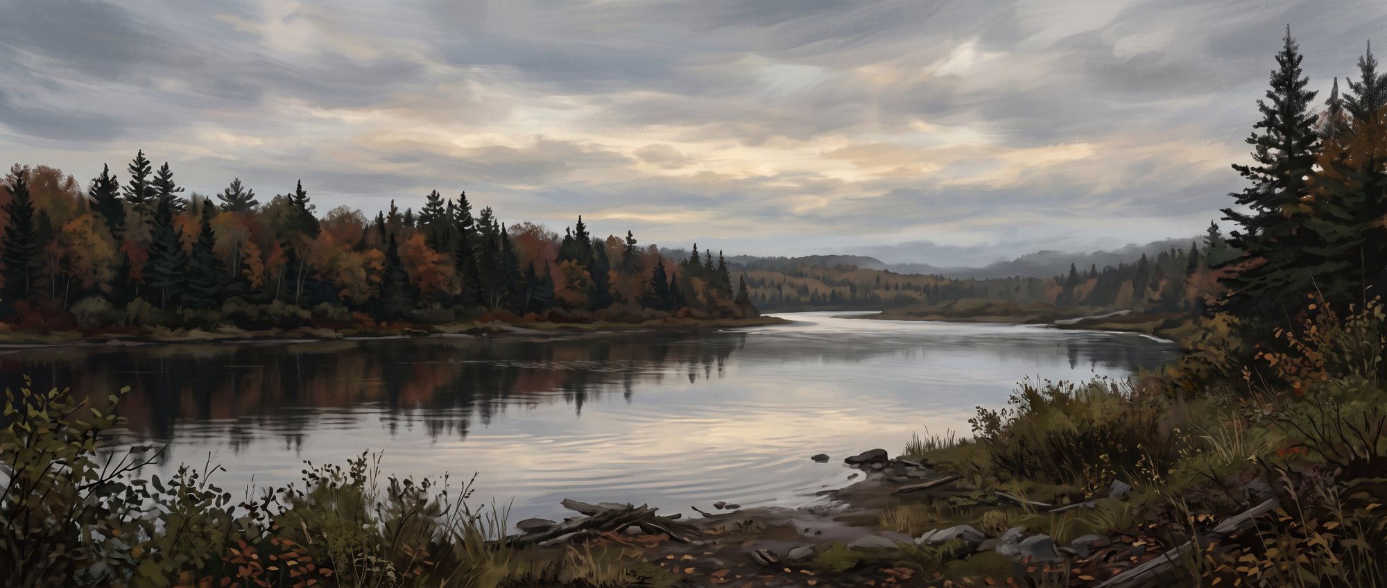
First settled in 1839 and incorporated in 1873, the town of Hersey is home to 73 residents in Aroostook County. Maine State Route 11 runs through the northwestern area of town, and local waterways include the West Branch Mattawamkeag River.

About Hersey, Maine
Hersey, Maine is a rural town located in Aroostook County. The town covers a total area of 39.86 square miles, which consists of 39.65 square miles of land and 0.21 square miles of water. The elevation of the town has been recorded at 745 feet by the University of Maine Cooperative Extension and at an average elevation of 696 feet by the USGS Geographic Names Information System. The town is served by ZIP codes 04780 and 04747.
Several waterways run through Hersey, including the West Branch Mattawamkeag River, Crystal Brook, Houston Brook, and Willett Brook. The town shares borders with Crystal, Dyer Brook, Island Falls, Moro Plantation, and Patten.
Population
At the 2020 U.S. Census, Hersey had a population of 73 residents. This was a decrease of 10 people compared to the 2010 census count of 83 residents. In 2010, Hersey had 32 households and a median age of 45.3 years. More recently, American Community Survey data reported by Census Reporter estimated the median age in Hersey at 60.5 years.
Town Government and Municipal Services
Hersey is governed by a Select Board, which meets at the Patten Town Garage. Municipal administration is handled through a shared town office located at 21 Katahdin Street (PO Box 260) in Patten, ME 04765. The office can be reached by phone at (207) 528-2215. It is open Monday, Tuesday, Thursday, and Friday from 9:00am to 12:00pm and from 1:00pm to 4:30pm, with Wednesdays open by appointment only.
Town officials and services include:
- Town Agent: Billie Doody
- Code Enforcement Officer: Bruce Hussey
- Animal Control Officer: Jon Harvey
- Emergency Medical Services: Provided by Patten Ambulance Service based in neighboring Patten.
- Fire Protection: Hersey contracts with the Town of Patten to receive service from the Patten Fire Department.
- Police Services: Hersey does not operate a municipal police force; law enforcement coverage is handled by the Aroostook County Sheriff's Office and the Maine State Police.
Getting Around
Maine State Route 11 passes through the northwestern section of Hersey and leads south toward Patten, which is roughly 5 miles away. Hersey is situated along the corridor connected by the Katahdin Woods & Waters National Scenic Byway and falls within MaineDOT Maintenance Region 5. Aroostook Regional Transportation Systems, Inc. (ARTS) serves as the regional public transit provider designated by the Maine Department of Transportation.
Education
Hersey belongs to Regional School Unit #50 (RSU 50), a school district that also includes Crystal, Dyer Brook, Island Falls, Merrill, Oakfield, and Smyrna. Hersey students attend Southern Aroostook Community School, a PK–12 public school located in Dyer Brook. High school students in RSU 50 can take career and technical education courses at the Region Two School of Applied Technology in Houlton. RSU 50 also offers adult education programming for residents.
Outdoor Recreation
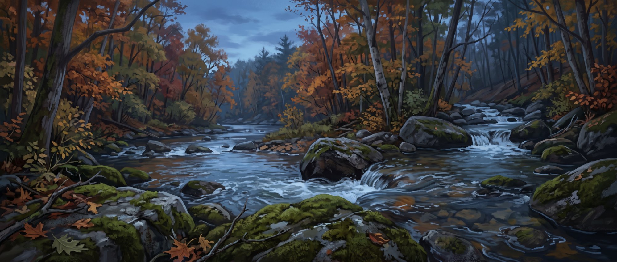
In the southern hills of Hersey, Warren Falls is an informal cascade and roadside scenic viewing stop along local waters. Regional ATV clubs, including the Knowles Corner ATV Club, maintain off-road trails and trail access routes across Hersey and nearby communities. Residents can obtain recreational licenses such as hunting and fishing licenses through MOSES, as well as ATV and snowmobile registrations, using the joint administrative portal shared with the Town of Patten.
History of Hersey
Hersey's story began when it was first settled in 1839. A few years later, in 1848, the area was organized as Dayton Plantation from part of Crystal Plantation and the survey township designated T5 R5 WELS.
On January 25, 1873, Hersey was officially incorporated as a town. It was named for General Samuel Hersey, who was a prominent proprietor of the township in that year of 1873.
See the history facts and their sources in Quick facts below.
Quick facts
·
Population
- 2010 Decennial Census Households
- At the 2010 census, there were 32 households in the town of Hersey.[1]
- 2010 Decennial Census Median Age
- The median age of residents in Hersey was 45.3 years according to the 2010 census.[1]
- 2020 Census Population
- The town of Hersey had a total population of 73 according to the 2020 U.S. Census.[1]
- 2020 Census Population
- The population of Hersey was 73 at the 2020 decennial census.[1]
- American Community Survey Median Age
- According to Census Reporter's profile based on U.S. Census Bureau American Community Survey data, the median age in Hersey town was estimated at 60.5 years.[2]
- Population Change (2010 to 2020)
- Hersey's population decreased from 83 residents in the 2010 census to 73 residents in the 2020 census, a drop of 10 people.[1]
History (5)
- First Settlement
- Hersey was first settled in 1839.[3]
- Incorporation Date
- Hersey was originally settled in 1839 and officially incorporated as a town on January 25, 1873.[4]
- Original Plantation Organization
- The area was organized in 1848 as Dayton Plantation from part of Crystal Plantation and the survey township designated T5 R5 WELS.[5]
- Town Incorporation Date
- Hersey was officially incorporated as a town on January 25, 1873.[3]
- Town Namesake and Early Proprietor
- The town was named for General Samuel Hersey, who was a prominent proprietor of the township in 1873.[3]
Government (7)
- animal control officer
- Jon Harvey serves as the Animal Control Officer for Hersey.[6]
- code enforcement officer
- Bruce Hussey serves as the Code Enforcement Officer for Hersey.[6]
- governing body
- The Town of Hersey is governed by a Select Board, which holds meetings at the Patten Town Garage.[6]
- town agent
- Billie Doody serves as the Hersey Town Agent.[6]
- town office address
- Hersey is served by the town office located at 21 Katahdin Street, PO Box 260, Patten, ME 04765.[6]
- town office hours
- The town office is open Monday, Tuesday, Thursday, and Friday from 9:00am to 12:00pm and 1:00pm to 4:30pm, and on Wednesdays by appointment only.[6]
- town office phone
- The official phone number serving Hersey is (207) 528-2215.[7]
Schools (4)
- Adult education
- RSU 50 provides adult education programming for residents within its member communities.[8]
- Career and technical education
- High school students in RSU 50 have access to career and technical education programs through the Region Two School of Applied Technology located in Houlton, Maine.[8]
- Public schools serving Hersey
- Hersey students attend Southern Aroostook Community School, a PK–12 comprehensive public school located in Dyer Brook, Maine.[8]
- School district
- The town of Hersey is served by Regional School Unit #50 (RSU 50), which also serves the neighboring communities of Crystal, Dyer Brook, Island Falls, Merrill, Oakfield, and Smyrna.[8]
Recreation (3)
- Local ATV trail management
- Regional ATV club networks, including clubs such as Knowles Corner ATV Club, maintain off-road trails and trail access routes serving Hersey and neighboring communities.[9]
- Online recreational licensing and registration
- Recreational services such as hunting and fishing licenses through MOSES, as well as ATV and snowmobile registrations, are made accessible to residents through the town's joint administrative portal with the Town of Patten.[10]
- Warren Falls viewing cascade
- Warren Falls is an informal cascade and roadside scenic viewing stop situated along local waters in the southern hills of Hersey.[11]
Transportation (5)
- MaineDOT Maintenance Region
- Hersey falls under MaineDOT Maintenance Region 5, which encompasses Aroostook County.[12]
- Primary Highway Route
- Maine State Route 11 traverses Hersey, cutting through the northwestern section of the town.[13]
- Proximity to Patten
- Maine State Route 11 connects Hersey south toward the neighboring town of Patten, situated roughly 5 miles away.[14]
- Regional Public Transit Provider
- Aroostook Regional Transportation Systems, Inc. (ARTS) is designated by the Maine Department of Transportation as the regional public transit provider servicing Hersey.[15]
- Scenic Byway Designation
- Hersey is located along the corridor connected by the Katahdin Woods & Waters National Scenic Byway.[16]
Services (4)
- Ambulance and Emergency Medical Services
- Emergency medical and ambulance services for Hersey are provided through the Patten Ambulance Service based in neighboring Patten.[17]
- Fire Protection Services
- The Town of Hersey contracts with and utilizes the Town of Patten's Patten Fire Department for municipal fire protection services.[17]
- Law Enforcement Coverage
- Hersey does not maintain its own local police department; law enforcement coverage is provided by the Aroostook County Sheriff's Office and the Maine State Police.[18]
- Municipal Administration and Public Works Meeting Location
- Hersey coordinates municipal administration from the shared town office in Patten, holding select board meetings concerning town roads and business at the Patten Town Garage.[17]
Geography (6)
- Bodies of Water
- Bodies of water and waterways flowing through Hersey include the West Branch Mattawamkeag River, Crystal Brook, Houston Brook, and Willett Brook.[19]
- Bordering Municipalities and Townships
- Hersey borders the Aroostook County towns and plantations of Crystal, Dyer Brook, and Island Falls, as well as Moro Plantation and Patten to the west.[20]
- Elevation
- Hersey has an elevation of 745 feet (reported for canning reference by the University of Maine Cooperative Extension) and an average elevation of 696 feet according to the USGS Geographic Names Information System.[21]
- Total Area
- Hersey encompasses a total area of 39.86 square miles, of which 39.65 square miles is land and 0.21 square miles is water.[1]
- Total Area
- According to the U.S. Census Bureau, Hersey has a total area of 39.86 square miles, comprising 39.65 square miles of land and 0.21 square miles of water.[1]
- ZIP Codes
- Hersey is served by ZIP codes 04780 and 04747.[1]
Businesses in Hersey
Map of Hersey
Nearby communities
All communities in The County
St. John Valley
Central Aroostook
Southern Aroostook
Sources (21)
- Hersey, Maine - Wikipedia — en.wikipedia.org , viewed Oct 10, 2026
- Hersey town, Aroostook County, ME - Profile data - Census Reporter — censusreporter.org , viewed Oct 10, 2026
- Hersey Maine in | Maine Towns Guide - Maine Vacations — mainevacations.com , viewed Oct 10, 2026
- Hersey Maine in | Maine Towns Guide - Maine Vacations — mainevacations.com , viewed Oct 10, 2026
- Maine Plantations - FamilySearch — familysearch.org , viewed Oct 10, 2026
- The Official Web Pages for the Town of Hersey - Town of Patten | Maine — vertexaisearch.cloud.google.com , viewed Oct 10, 2026
- Town of Patten | Maine: Official website for Patten Maine town office — vertexaisearch.cloud.google.com , viewed Oct 10, 2026
- WELCOME - RSU 50 — rsu50.org , viewed Oct 10, 2026
- ATV Clubs in Maine & Aroostook County — visitaroostook.com , viewed Oct 10, 2026
- Online Services - Town of Patten | Maine — pattenmaine.org , viewed Oct 10, 2026
- Warren Falls | Hersey, Maine Waterfall - New England Swimming Holes — newenglandswimmingholes.com , viewed Oct 10, 2026
- Regions | Maine Department of Transportation — maine.gov , viewed Oct 10, 2026
- wmd5.pdf - Maine.gov — maine.gov , viewed Oct 10, 2026
- Hersey Maine in | Maine Towns Guide - Maine Vacations — etravelmaine.com , viewed Oct 10, 2026
- Public Transit Services in Maine | Maine Department of Transportation - Maine.gov — maine.gov , viewed Oct 9, 2026
- Scenic Byways of Aroostook — visitaroostook.com , viewed Oct 10, 2026
- The Official Web Pages for the Town of Hersey - Town of Patten | Maine — vertexaisearch.cloud.google.com , viewed Oct 10, 2026
- Aroostook County Maine Government Services — vertexaisearch.cloud.google.com , viewed Oct 10, 2026
- Hersey - Maine.gov — maine.gov , viewed Oct 10, 2026
- WMD 11 | Maine.gov — maine.gov , viewed Oct 10, 2026
- Aroostook County Elevations - Cooperative Extension: Food & Health — extension.umaine.edu , viewed Oct 9, 2026