Sherman
A historic town in Aroostook County
Weather in Sherman
Loading the forecast…
 Your logo here
This page could be sponsored
Your business name here
Sponsor This Page
First settled in 1832 and incorporated in 1862, Sherman is a rural town in Aroostook County that recorded a population of 815 in 2020. Located along Interstate 95 and State Route 11, the community is home to family farms, local historic landmarks, and outdoor trails.

Community Overview
Sherman, Maine is a rural town located in Aroostook County, bordering Benedicta Township, Silver Ridge Township, Crystal, and Stacyville. The town recorded a population of 815 in the 2020 Decennial Census, down from 848 in 2010 and 937 in 2000. The 2010 census counted 363 households and a median age of 48.8 years, while American Community Survey estimates reported a median age of 33.4 years. The median household income in Sherman is $37,070 according to Katahdin Chamber of Commerce data.
Local Economy and Community Heritage
The local economy features agriculture and trade, including roughly 20 Amish family farms operating sawmills, building construction, woodworking, harness and leather shops, and farm stands. Economic development and municipal assistance are supported by the Upper Valley Economic Corporation (UVEC), based at the Sherman Municipal Building. For travelers visiting the Katahdin region, the Katahdin Valley Motel offers lodging off Interstate 95 at Exit 264.
Historic Sites and Cultural Landmarks
Visitors can view several local historic landmarks around town:
- A. B. Leavitt House: Built in 1890 in Sherman Mills, this Gothic Revival mail-order house was designed by Palliser, Palliser & Company and listed on the National Register of Historic Places in 1986.
- The Red House: Donated by Richard Bonner, this building serves as the permanent museum space and headquarters for the Sherman Area Historical Society.
- Civil War Soldiers Monument: A marble shaft erected and dedicated on July 4, 1883, in Cemetery No. 2 on Golden Ridge Road to honor citizen soldiers who died in the Civil War.
- Caldwell Brothers Civil War Memorial: Dedicated in 1982 near the Sherman Public Library on Church Street, honoring six local brothers who served in the war.
- Sherman Public Library: Located at 9 Church Street, providing library services to the community.
Annual Events
Sherman hosts an annual Old Home Days celebration over Labor Day weekend, a community homecoming tradition celebrated for more than 85 years. The multi-day weekend includes a community parade, fireworks, dances, athletic tournaments, auctions, dinners, and family activities. Events during the weekend also include the Miss Sherman Old Home Days Pageant—which features competitions such as Little Miss Sherman—and the Sherman High Alumni social hour and banquet held at the Sherman Gym.
Outdoor Recreation
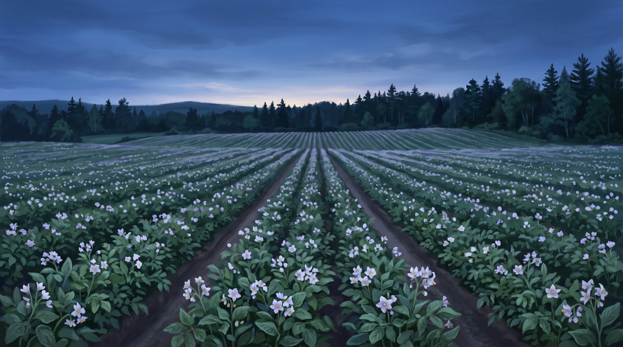
The Sherman to Patten Trail is a state-managed, 4.5-mile multi-use rail trail following a former Bangor and Aroostook Railroad corridor between Sherman and Patten. It features a crushed stone and gravel surface through northern forest and wetland habitat, welcoming hiking, bicycling, ATV riding, snowmobiling, cross-country skiing, wildlife watching, and birding.
Winter recreation is maintained locally by the Molunkus Valley Sno-Drifters snowmobile club, affiliated with the Maine Snowmobile Association. Local club trails connect riders to Maine's Interconnected Trail System, including ITS 81 and ITS 83, linking Sherman to Benedicta, Stacyville, and Patten. Recreational vehicle registrations for snowmobiles, ATVs, and boats are handled through the Sherman Town Office.
Education
Sherman belongs to Regional School Unit No. 89 (RSU 89), organized with Mount Chase, Patten, and Stacyville following Sherman's withdrawal from RSU 50 on July 1, 2018. Public education employment and schooling take place through nearby facilities in Stacyville: elementary students attend Katahdin Elementary School, while middle and high school students attend Katahdin Middle/High School at 800 Station Road. High school students also have access to career and technical courses through the Region Two School of Applied Technology in Houlton. RSU 89 operates an Adult Education and Enrichment Program for district residents.
Town Services and Transportation
The Sherman Town Office is located at 36 School Street, Suite 1. The Sherman Public Library can be reached by phone at (207) 365-4482 and uses a mailing address at 36 School Street. Fire protection is provided by the all-volunteer Sherman Fire Department. The town does not have a dedicated municipal police department, municipal ambulance service, or municipal public works road crew; road maintenance, salt, and sand are contracted out, and law enforcement patrol is provided in part by Maine State Police Troop F.
Road transportation connects through Interstate 95 at Exit 264, State Route 11 running north-south, and State Route 158, a 4.44-mile connector within Sherman linking Route 11, Interstate 95, and U.S. Route 2. Under MaineDOT transit Region 1, scheduled demand-response public transit is operated by the Aroostook Regional Transportation System (ARTS), providing connections between Sherman and Houlton on Thursdays.
History of Sherman
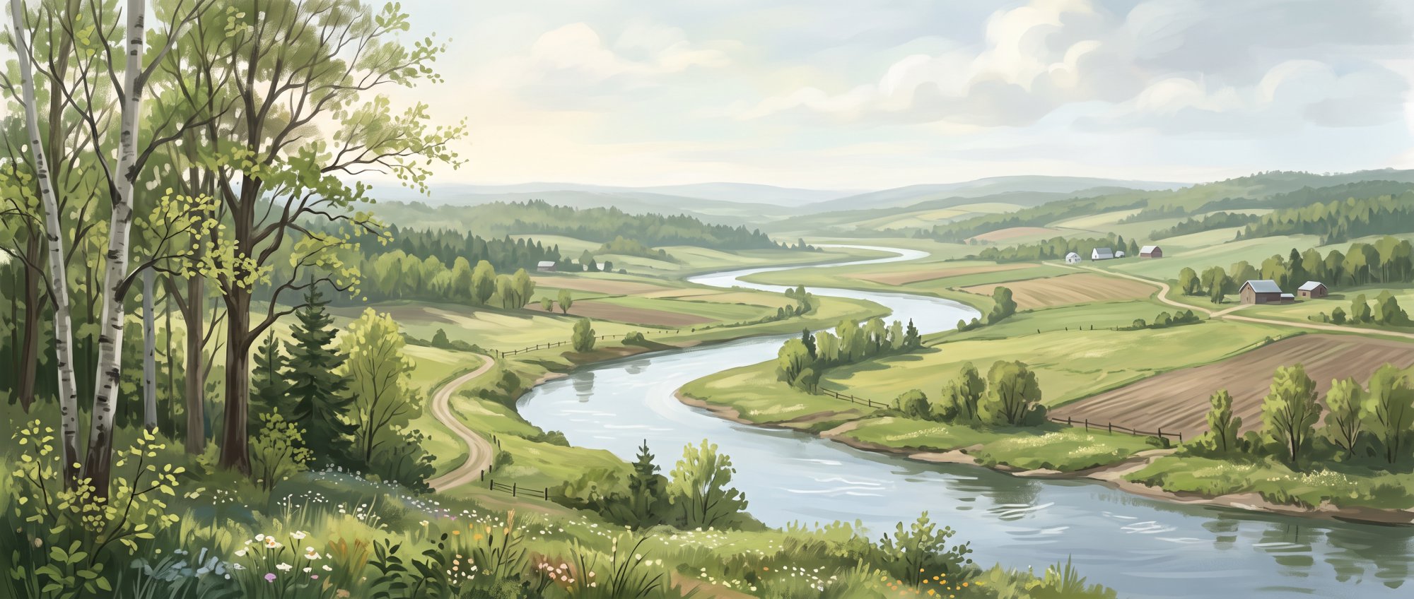
The town of Sherman was first settled in 1832, beginning when Sumner native Alfred Cushman felled the first tree in the area on June 12, 1832, before bringing his family two years later. Other early settlers included Edwin Parker, Samuel Chandler, Leonard Marsh, Luke Perry, Richard Boynton, and Wesley Caldwell. On January 28, 1862, Sherman was incorporated as a town, named in honor of Ohio native, U.S. Senator, and abolitionist John Sherman. Formed during the American Civil War, the community sent more than 110 men to fight, resulting in over 30 service-related deaths. Among those who served were six Caldwell brothers, three of whom died during the conflict.
Following the war, local manufacturing and milling operations developed during the late 1800s, including two sawmills, a grist mill, and a starch factory. The community also remembered its fallen soldiers. On July 4, 1883, a marble shaft monument honoring citizens who died defending their country in the Civil War was dedicated in Sherman's No. 2 Cemetery on Golden Ridge Road, and in 1982, a local memorial dedicated to the Caldwell brothers was created near the town library.
See the history facts and their sources in Quick facts below.
Quick facts
·
Population
- 2000 to 2010 population change
- Between the 2000 and 2010 decennial censuses, Sherman's population declined by 9.5%, falling from 937 to 848 residents.[1]
- 2010 to 2020 population change
- Sherman's population decreased from 848 residents in 2010 to 815 residents in 2020, representing a decline of approximately 3.9%.[1]
- 2020 Census Population
- The town of Sherman had a population of 815 according to the 2020 Decennial Census.[2]
- 2020 Decennial Census population
- Sherman recorded a total population of 815 in the 2020 Decennial Census.[1]
- Households count (2010 Census)
- There were 363 households residing in the town of Sherman as of the 2010 census.[1]
- Median age (2010 Census)
- The median age of residents in Sherman was 48.8 years according to the 2010 census.[1]
- Median age (ACS estimate)
- According to American Community Survey estimates reported by Cubit Planning, the median age in Sherman was 33.4 years.[3]
History (9)
- Caldwell Brothers Service and Memorial
- Six Caldwell brothers from Sherman served in the Civil War, three of whom died during the conflict, leading to the creation of a local memorial dedicated to them in 1982 near the town library.[4]
- Civil War Service
- Formed during the American Civil War, Sherman sent more than 110 men to fight in the war, resulting in over 30 service-related deaths.[4]
- Early Settlers
- Early settlers of Sherman included Edwin Parker, Samuel Chandler, Leonard Marsh, Luke Perry, Richard Boynton, and Wesley Caldwell.[5]
- Incorporation Year
- Sherman was incorporated as a town on January 28, 1862.[6]
- Initial Settlement
- Sherman was first settled in 1832, beginning when Sumner native Alfred Cushman felled the first tree in the area on June 12, 1832, before bringing his family two years later.[5]
- Late 19th Century Industry
- During the late 1800s, Sherman developed local manufacturing and milling operations that included two sawmills, a grist mill, and a starch factory.[4]
- Soldiers' Monument Dedication
- A marble shaft monument honoring citizens who died defending their country in the Civil War was dedicated on July 4, 1883, in Sherman's No. 2 Cemetery on Golden Ridge Road.[7]
- Town Incorporation
- The town of Sherman was incorporated in January 1862.[4]
- Town Namesake
- Sherman was named in honor of Ohio native, U.S. Senator, and abolitionist John Sherman.[4]
Schools (6)
- Adult education and enrichment
- RSU 89 maintains an Adult Education and Enrichment Program for district residents.[8]
- Career and technical education center
- Students in the Katahdin school district have access to career and technical education courses through the Region Two School of Applied Technology in Houlton.[9]
- District formation
- Sherman withdrew from RSU 50 and officially formed RSU 89 on July 1, 2018.[10]
- Public elementary school
- Elementary students in Sherman are served by Katahdin Elementary School, located on Station Road in neighboring Stacyville.[11]
- Public middle and high school
- Middle and high school students from Sherman attend Katahdin Middle/High School, located at 800 Station Road in Stacyville.[11]
- School district affiliation
- Sherman belongs to Regional School Unit No. 89 (RSU 89), which was organized alongside Mount Chase, Patten, and Stacyville.[12]
Economy (6)
- 2020 Total Population
- According to the 2020 Decennial Census, the population of Sherman, Maine was 815.[1]
- Hospitality and Visitor Services
- The Katahdin Valley Motel is located off Interstate 95 (Exit 264) in Sherman, providing lodging and hospitality services for travelers and visitors to the Katahdin region.[13]
- Key Local Commercial and Small Industries
- Local economic enterprises in Sherman include farming (with roughly 20 Amish family farms), sawmills, building construction, harness and leather shops, and local farm stands.[14]
- Local Economic Development Organization
- Economic development and municipal service assistance in Sherman and neighboring Stacyville are supported locally by the Upper Valley Economic Corporation (UVEC), based at the Sherman Municipal Building.[15]
- Median Household Income
- According to Katahdin Chamber of Commerce community data, the median household income in Sherman was $37,070.[14]
- Public School District Employment and Services
- Public education employment and services for Sherman students are provided through Regional School Unit No. 89 (MSAD 25), which operates Katahdin Elementary School and Katahdin Middle/High School nearby in Stacyville.[14]
Landmarks (4)
- A. B. Leavitt House
- Built in 1890, the A. B. Leavitt House in Sherman Mills is an example of Gothic Revival mail-order architecture based on designs published by Palliser, Palliser & Company. It was listed on the National Register of Historic Places in 1986.[16]
- Caldwell Brothers Civil War Memorial
- Dedicated in 1982 near the Sherman Public Library on Church Street, this monument honors the six Caldwell brothers from Sherman who served in the Civil War.[17]
- Civil War Soldiers Monument
- Erected and dedicated on July 4, 1883, the marble shaft monument in Cemetery No. 2 on Golden Ridge Road commemorates citizen soldiers from Sherman who died in the Civil War.[18]
- The Red House
- The historic Red House in Sherman serves as the permanent home and museum space for the Sherman Area Historical Society following its donation by Richard Bonner.[19]
Recreation (5)
- Molunkus Valley Sno-Drifters snowmobile club
- The Molunkus Valley Sno-Drifters is the local snowmobile club based in Sherman, Maine, affiliated with the Maine Snowmobile Association to maintain area trails.[20]
- Regional snowmobile connectivity
- Local snowmobile club trails in Sherman link riders to Maine's Interconnected Trail System (ITS), including ITS 81 and ITS 83, connecting to neighboring communities like Benedicta, Stacyville, and Patten.[21]
- Sherman to Patten Trail activities and surface
- The rail-trail features a crushed stone and gravel surface traversing northern forest and wetland habitat, where trailside wildlife watching and birding are common.[22]
- Sherman to Patten Trail multi-use rail trail
- The Sherman to Patten Trail is a state-managed, multi-use rail trail covering 4.5 miles along a former Bangor and Aroostook Railroad corridor between Sherman and Patten. It accommodates hiking, bicycling, ATV riding, snowmobiling, and cross-country skiing.[23]
- Town recreational vehicle registration
- The Sherman Town Office provides recreational vehicle registration services for snowmobiles, ATVs, and boats.[24]
Events (4)
- Old Home Days History
- The annual Old Home Days gathering in Sherman has been celebrated as a community homecoming tradition for more than 85 years.[25]
- Old Home Days Pageant
- The town holds an annual Miss Sherman Old Home Days Pageant during the holiday weekend, featuring competitions for local youth including a Little Miss Sherman category.[26]
- Sherman High Alumni Banquet
- As part of the annual Old Home Days weekend, former graduates gather in town for the annual Sherman High Alumni social hour and banquet held at the Sherman Gym.[27]
- Sherman Old Home Days
- Sherman hosts an annual community celebration called Old Home Days over Labor Day weekend. The multi-day event includes a community parade, fireworks, dances, athletic tournaments, auctions, and family activities.[26]
Culture (6)
- Amish Community Heritage
- Sherman is home to an established Amish community of approximately twenty family farms operating businesses such as sawmills, harness shops, woodworking, and farm stands.[28]
- Caldwell Brothers Civil War Memorial
- A memorial dedicated in 1982 stands near the public library honoring the six Caldwell brothers from Sherman who served in the American Civil War.[28]
- Sherman Area Historical Society and the Red House
- The Sherman Area Historical Society preserves and shares the local history of Sherman and nearby communities, headquartered at the historic Red House.[29]
- Sherman Old Home Days Tradition
- Sherman celebrates Old Home Days annually over Labor Day weekend, a community tradition featuring a parade, fireworks, dances, dinners, and events organized with local civic groups.[30]
- Sherman Public Library
- The Sherman Public Library is located at 9 Church Street in Sherman and serves the local community.[31]
- Soldiers' Civil War Monument
- A marble shaft monument honoring Sherman's Civil War citizen soldiers was erected in 1883 and dedicated on July 4, 1883, at Cemetery No. 2 on Golden Ridge Road.[32]
Transportation (5)
- Interstate 95 access
- Sherman is served by Interstate 95, which passes through the town and provides local access via Exit 264.[33]
- Public transit service
- Public transit in Sherman is provided by the Aroostook Regional Transportation System (ARTS), which offers scheduled demand-response service connecting Sherman to Houlton on Thursdays.[34]
- Regional transit designation
- Under MaineDOT's statewide transit structure, Sherman falls within Region 1, which covers Aroostook County and designates the Aroostook Regional Transportation System as its regional transit provider.[35]
- State Route 11
- Maine State Route 11 runs through Sherman, serving as a primary north-south regional corridor connecting southern Maine to northern Aroostook County.[36]
- State Route 158
- State Route 158 is located entirely within the town of Sherman, serving as a 4.44-mile connector between State Route 11, Interstate 95, and U.S. Route 2.[33]
Services (7)
- Police and Emergency Medical Services
- The Town of Sherman has no dedicated municipal police department or municipal ambulance service.[37]
- Public Works Services
- The Town of Sherman does not maintain an internal municipal public works road crew and instead contracts out services for road maintenance, salt, and sand.[37]
- Sherman Public Library Contact
- The library can be reached by telephone at (207) 365-4482 and maintains a mailing address at 36 School Street in Sherman.[38]
- Sherman Public Library Location
- The Sherman Public Library is located at 9 Church Street in Sherman, Maine.[38]
- Sherman Town Office Location
- The municipal offices for the Town of Sherman are located at 36 School Street, Suite 1.[39]
- State Police Coverage
- Law enforcement services in the area are provided in part by the Maine State Police, with rural policing and patrol coverage falling under Troop F.[40]
- Volunteer Fire Department
- Fire protection in the town is provided by the Sherman Fire Department, an all-volunteer department.[37]
Geography (10)
- Bordering communities
- Sherman borders communities including Benedicta Township, Silver Ridge Township, Crystal, and Stacyville.[41]
- Elevation
- Sherman has an elevation of approximately 607 feet (185 meters) above sea level.[28]
- Land area
- Sherman contains 40.04 square miles (103.70 square kilometers) of land area.[1]
- Location within Aroostook County
- Sherman is located in southern Aroostook County in northern Maine.[42]
- Macwahoc Stream
- Macwahoc Stream flows through the area around Sherman Mills and Lower Macwahoc Lake in the Sherman region.[43]
- Molunkus Stream
- Molunkus Stream forms in Sherman at the confluence of its East Branch and West Branch before flowing southeast toward the Mattawamkeag River.[44]
- Total Area
- Sherman covers a total area of approximately 40.53 square miles, consisting of 40.04 square miles of land and 0.49 square miles of water.[1]
- Total area
- According to the U.S. Census Bureau, the town of Sherman encompasses a total area of 40.53 square miles (104.97 square kilometers).[1]
- Water area
- Water bodies account for 0.49 square miles (1.27 square kilometers) of Sherman's total area.[1]
- ZIP Code
- The ZIP code serving Sherman is 04776.[45]
Businesses in Sherman
Map of Sherman
Nearby communities
All communities in The County
St. John Valley
Central Aroostook
Southern Aroostook
Sources (45)
- Sherman, Maine - Wikipedia — en.wikipedia.org , viewed Oct 11, 2026
- Sherman 04776 - Exit 264 — exit264.me , viewed Oct 11, 2026
- Current Maine Census Data - Sherman Demographics — maine-demographics.com , viewed Oct 11, 2026
- Sherman - Undiscovered Maine — umaine.edu , viewed Oct 11, 2026
- Sherman marks 150 years with 'Memories of Our Hometown' - Bangor Daily News — bangordailynews.com , viewed Oct 11, 2026
- Counties, Cities, Towns and Plantations of Maine — digitalmaine.com , viewed Oct 11, 2026
- Sherman | Maine Historic Preservation Commission — maine.gov , viewed Oct 11, 2026
- KES | Katahdin Schools — rsu89.org , viewed Oct 11, 2026
- Home | RegionTwo — regiontwo.org , viewed Oct 9, 2026
- Withdrawal List | Department of Education - Maine.gov — maine.gov , viewed Oct 11, 2026
- Katahdin Schools | Home — rsu89.org , viewed Oct 11, 2026
- Regional School Units (RSUs) | Department of Education - Maine.gov — maine.gov , viewed Oct 11, 2026
- Julienne Bulley, Author at Northeast Hospitality Brokers — nehospitalitybrokers.com , viewed Oct 11, 2026
- Sherman - Katahdin Chamber of Commerce — katahdinmaine.com , viewed Oct 11, 2026
- Sherman 04776 - Exit 264 — exit264.me , viewed Oct 11, 2026
- A. B. Leavitt House - Wikipedia — en.wikipedia.org , viewed Oct 11, 2026
- Sherman - Undiscovered Maine — umaine.edu , viewed Oct 11, 2026
- Sherman - Maine's Civil War Monuments - Maine.gov — maine.gov , viewed Oct 11, 2026
- Sherman Area Historical Society receives donation of historic red house — thecounty.me , viewed Oct 11, 2026
- SNOWMOBILE CLUBS | Katahdin Area Snowmo — destinationkatahdin.org , viewed Oct 11, 2026
- Ride Northern Maine Snowmobile Trails - Benedicta Snow Gang — benedictasnowgang.com , viewed Oct 11, 2026
- Sherman to Patten Trail | Maine Trails | TrailLink — traillink.com , viewed Oct 11, 2026
- Snowmobiling: Bureau of Parks and Lands: Maine DACF — maine.gov , viewed Oct 11, 2026
- Sherman 04776 - Exit 264 — exit264.org , viewed Oct 11, 2026
- 1901 Old Home Days tradition continues in Sherman - The County — thecounty.me , viewed Oct 11, 2026
- Sherman Old Home Days - Katahdin Woods & Waters National Scenic Byway — destinationkatahdin.org , viewed Oct 11, 2026
- SHERMAN OLD HOME DAYS - SEPT 1-4TH - Katahdin Chamber of Commerce — business.katahdinmaine.com , viewed Oct 11, 2026
- Sherman - Katahdin Chamber of Commerce — katahdinmaine.com , viewed Oct 11, 2026
- Sherman Area Historical Society receives donation of historic red house - The County — thecounty.me , viewed Oct 11, 2026
- 1901 Old Home Days tradition continues in Sherman - The County — thecounty.me , viewed Oct 11, 2026
- Sherman Public Library - Maine.gov — maine.gov , viewed Oct 11, 2026
- Sherman | Maine Historic Preservation Commission — maine.gov , viewed Oct 11, 2026
- Maine State Route 158 - Wikipedia — en.wikipedia.org , viewed Oct 11, 2026
- Rates and Schedules | Aroostook Regional Transportation — aroostooktransportation.org , viewed Oct 9, 2026
- Public Transit Services in Maine | Maine Department of Transportation - Maine.gov — maine.gov , viewed Oct 11, 2026
- Maine State Route 11 - Wikipedia — en.wikipedia.org , viewed Oct 9, 2026
- Sherman 2020 - Aroostook County EMA — aroostookema.com , viewed Oct 11, 2026
- Sherman Public Library - Maine.gov — maine.gov , viewed Oct 11, 2026
- Sherman | SOS - Maine.gov — maine.gov , viewed Oct 11, 2026
- MAINE STATE POLICE Rural Patrol and Rural Policing Services — maine.gov , viewed Oct 11, 2026
- Benedicta, Aroostook County, Maine Genealogy - FamilySearch — familysearch.org , viewed Oct 11, 2026
- Southern Registry of Deeds Coverage Area – Aroostook County Maine — aroostook.me.us , viewed Oct 11, 2026
- Preliminary report on the surficial geology of the Sherman, Mattawamkeag Lake, and the northern half of the Mattawamkeag and Wyt - Digital Maine — digitalmaine.com , viewed Oct 11, 2026
- Molunkus Stream - Wikipedia — en.wikipedia.org , viewed Oct 11, 2026
- ZIP Code 04776, Sherman, ME - Zipwise — zipwise.com , viewed Oct 11, 2026