Southern Aroostook
Border rivers, deep forests, and enduring towns
Southern Aroostook County spans a landscape of border waters and rolling woodlands, reaching from Macwahoc Plantation along the Penobscot County line up to Houlton and Orient. With deep roots in forestry, farming, and transport, the area is defined by winding rivers, welcoming communities, and historic crossroads.
Weather around the region
Forecasts for the region’s largest towns. Conditions can differ across a region this size.
 Your logo here
This page could be sponsored
Your business name here
Sponsor This Page
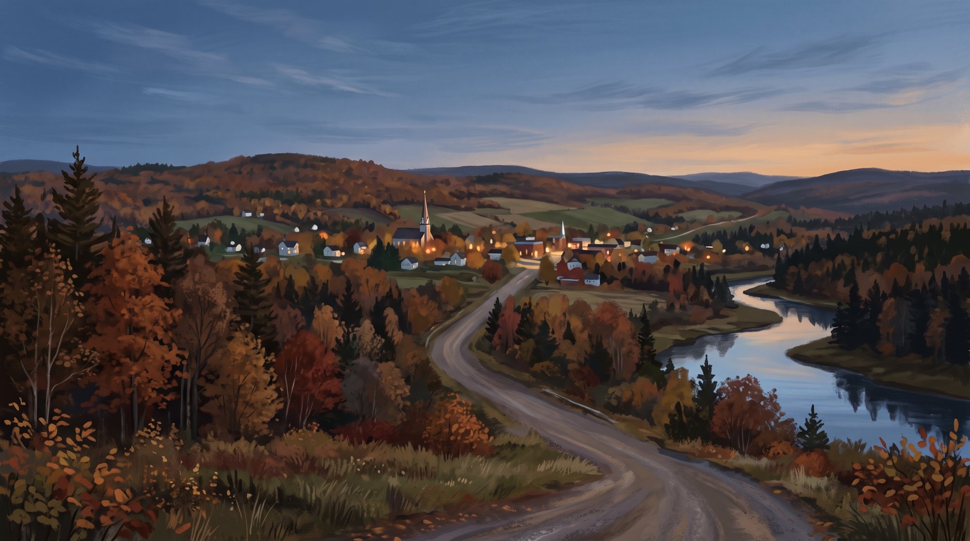
Across Southern Aroostook, the land is shaped by expansive waterways and working forests. East Grand Lake spreads along the eastern borders of Orient and Weston, with the international boundary running lengthwise down the water where anglers, boaters, and snowmobilers share the seasons. To the west, the West Branch of the Mattawamkeag River flows through Island Falls and into the 3,323-acre Mattawamkeag Lake before joining the East Branch at Haynesville to form the main stem, while a 24-mile paddle corridor winds toward Reed Plantation and Wytopitlock. Farther east, the 516-square-mile Meduxnekeag River subbasin drains the rolling terrain through Littleton and Houlton before heading across the border into New Brunswick.
Generations have built their livelihoods here, establishing deep community foundations. Pioneers under Joseph Houlton settled Houlton in 1805, and in 1828 the U.S. Army established Hancock Barracks on Garrison Hill during the border tensions of the Aroostook War era. Settlers reached Macwahoc in the 1830s, Golden Ridge Plantation became Sherman in 1862, and early homesteaders laid out Island Falls in the 1840s and Dyer Brook along its namesake waterway. In Island Falls, Theodore Roosevelt read at a quiet spot along the West Branch Mattawamkeag River guided by William Wingate Sewall beginning in 1878, a place preserved today as Bible Point State Historic Site. In Sherman, a local monument honors the six Caldwell brothers among the 113 residents who answered the call during the Civil War.
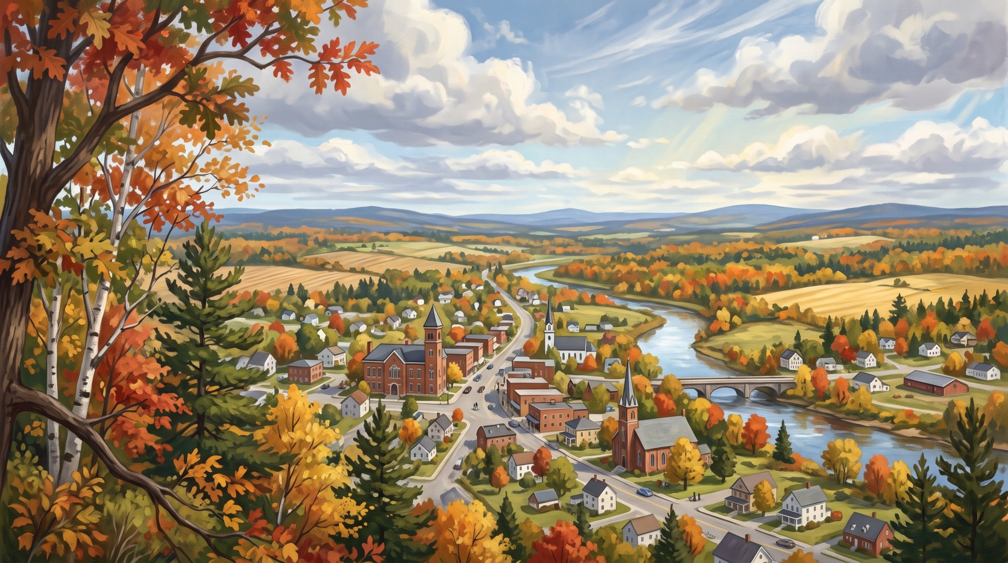
The region's culture remains closely linked to the land and its heritage. Littleton serves as tribal headquarters for the Houlton Band of Maliseet Indians, who honor their federal recognition each September with drumming, dancing, and cultural displays. In Smyrna, Maine's first Amish settlement, established in 1996, continues to operate rustic furniture shops and stores like The Pioneer Place alongside organic dairying. Communities gather throughout the year, whether celebrating at the Houlton Agricultural Fair, savoring the loaded baked potato bar at Houlton Potato Feast Days, or visiting the Oakfield Railroad Museum housed in a restored 1911 Bangor & Aroostook Railroad station with its vintage signals and caboose.
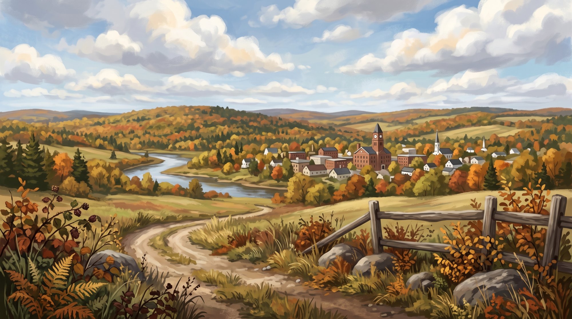
Today, Southern Aroostook remains an active hub of manufacturing, resource stewardship, and travel. Major local employers include Houlton Regional Hospital, Louisiana-Pacific's engineered wood facility in New Limerick, and Katahdin Forest Products in Oakfield, alongside new operations like Kearney Pallet at the Houlton Industrial Park. Interstate 95 runs north through Sherman, Island Falls, Oakfield, and Smyrna to reach its northernmost terminus in Houlton at the international crossing into New Brunswick. For those exploring the outdoors, trails link the area together, from the Meduxnekeag River Trail starting at Riverfront Park to the 37-mile Southern Bangor and Aroostook Trail.
Communities in Southern Aroostook
A border town in southeastern Aroostook County Crystal Town · pop. 248
A southern Aroostook County community Dyer Brook Town · pop. 215
A southern Aroostook County community Glenwood Plantation Plantation · pop. 5
A quiet plantation in southern Aroostook County Hammond Town · pop. 91
An incorporated town in southern Aroostook County Haynesville Town · pop. 97
A small town along the Mattawamkeag River Hersey Town · pop. 73
A rural community in Aroostook County Hodgdon Town · pop. 1,290
An agricultural community in southern Aroostook County Houlton City · pop. 6,055 · County seat
A welcoming small town with rich history and small-town charm. Island Falls Town · pop. 758
A peaceful lakeside community surrounded by nautral beauty. Linneus Town · pop. 947
A historic town in southern Aroostook County Littleton Town · pop. 997
A friendly small town with rare beauty and charm. Ludlow Town · pop. 434
A southern Aroostook County community Macwahoc Plantation Plantation · pop. 62
A historic plantation in southern Aroostook County Merrill Town · pop. 208
A small town in Aroostook County Moro Plantation Plantation · pop. 44
A quiet plantation in southwestern Aroostook County New Limerick Town · pop. 574
Historic southern Aroostook County community along Route 2 Oakfield Town · pop. 661
Historic railway town in southern Aroostook County Orient Town · pop. 156
Border town in southeastern Aroostook County Reed Plantation Plantation · pop. 129
A rural plantation in southern Aroostook County Sherman Town · pop. 815
A historic town in Aroostook County Smyrna Town · pop. 439
A rural community in southern Aroostook County Weston Town · pop. 245
A lakeside town in southeastern Aroostook County
The outdoors here
The facts behind this page
·
Culture (7)
- Amish Craftsmanship and Commerce in Smyrna Smyrna
- Smyrna's Amish community maintains traditional horse-and-buggy transportation and operates local trade establishments, including rustic furniture shops, greenhouses, and general stores such as The Pioneer Place.[1]
- First Amish Settlement in Maine Smyrna
- Smyrna became the site of Maine's first Amish community when Amish families relocated and established farms and craft businesses there in 1996.[2]
- Houlton Agricultural Fair Houlton
- Held at Community Park in Houlton, the annual Houlton Agricultural Fair educates the public and celebrates local farming heritage with regional livestock competitions, exhibitions, and agricultural displays.[3]
- Houlton Band of Maliseet Indians Littleton
- The Houlton Band of Maliseet Indians, part of the Wolastoqiyik people whose ancestral territory includes the Meduxnekeag and St. John river basins, is a federally recognized tribe headquartered in Littleton.[4]
- Houlton Potato Feast Days Houlton
- Houlton Potato Feast Days is an annual agricultural harvest festival celebrating southern Aroostook County's potato farming heritage with events such as a loaded baked potato bar and a historic doll parade.[5]
- Maliseet Indian Recognition Day Littleton
- Held annually in Littleton on the second weekend of September, Maliseet Indian Recognition Day celebrates the tribe's 1980 federal recognition with traditional dancing, drumming, and cultural displays.[6]
- Oakfield Railroad Museum Oakfield
- Housed in a restored 1911 Bangor & Aroostook Railroad station, the Oakfield Railroad Museum preserves Southern Aroostook's regional rail heritage with vintage signals, telegraph equipment, mail carts, and a C-66 caboose.[7]
Economy (6)
- Houlton Industrial Park Pallet Manufacturing Expansion Houlton
- The Southern Aroostook Development Corporation obtained a $1 million grant from the Northern Border Regional Commission to develop a modern wood-products manufacturing facility at the Houlton Industrial Park for Kearney Pallet.[8]
- Houlton Regional Hospital Healthcare Employment Houlton
- Houlton Regional Hospital is a critical access hospital and serves as one of the largest employers in Southern Aroostook County, employing several hundred staff members.[9]
- Katahdin Forest Products Cedar Manufacturing Oakfield
- Katahdin Forest Products operates manufacturing mills in Oakfield producing Northern White Cedar log homes, cedar fencing, and related wood products.[10]
- Louisiana-Pacific Engineered Wood Facility New Limerick
- Louisiana-Pacific Corporation operates a major engineered wood manufacturing mill on Station Road in New Limerick that produces LP SmartSide Trim and Siding and employs approximately 160 people.[11]
- Organic Dairy Farming in Southern Aroostook Smyrna
- Southern Aroostook hosts commercial dairy farming operations, including the Esch Family Farm organic dairy in Smyrna, working in cooperation with MOFGA and Organic Valley.[12]
- Southern Aroostook Soil and Water Conservation District Houlton
- The Southern Aroostook Soil and Water Conservation District operates out of Houlton to assist local agricultural producers and landowners with natural resource management.[13]
Geography (6)
- East Grand Lake International Boundary and Size Orient
- East Grand Lake covers roughly 15,917 to 16,070 acres along the eastern border of Orient and Weston, with the international boundary between Maine and New Brunswick running lengthwise through the water.[14]
- Macwahoc Plantation Southern County Border Macwahoc Plantation
- Macwahoc Plantation is located along the southern border of Aroostook County, covering 29.4 square miles of land and bounded to the south by Penobscot County.[15]
- Mattawamkeag Lake Physical Profile Island Falls
- Mattawamkeag Lake spans 3,323 acres with a maximum recorded depth of 47 feet just east of Island Falls.[16]
- Mattawamkeag River Paddle Corridor Reed Plantation
- A 24-mile paddle corridor along the Mattawamkeag River winds through maple swamps and Class II rapids between Haynesville, Reed Plantation, and Wytopitlock.[17]
- Meduxnekeag River Subbasin Extent Houlton
- The Meduxnekeag River subbasin encompasses 516 square miles in southeastern Aroostook County, flowing through Houlton and Littleton before crossing into New Brunswick to join the Saint John River.[18]
- West Branch Mattawamkeag River Confluence Haynesville
- The West Branch of the Mattawamkeag River flows through Island Falls and Mattawamkeag Lake before meeting the East Branch to form the main stem of the Mattawamkeag River in Haynesville.[19]
History (8)
- Civil War service from Sherman Sherman
- During the American Civil War, 113 men from Sherman served in the Union forces, including six Caldwell brothers commemorated by a local monument after three of them lost their lives in the conflict.[20]
- Establishment of Hancock Barracks Houlton
- In 1828, the United States Army established Hancock Barracks on Garrison Hill to station troops along the disputed Maine–New Brunswick border, serving as an active post through the Aroostook War until the 1840s.[21]
- First settlement of Island Falls Island Falls
- Island Falls was first settled in the early 1840s when Levi Sewall, Jesse Craig, and Nehemiah Alexander arrived in the area, with Sewall constructing the settlement's first home.[22]
- Organization of Macwahoc Plantation Macwahoc Plantation
- Settled in the 1830s and originally organized in 1844 as part of Molunkus Plantation, Macwahoc was officially set off and organized as an independent plantation in December 1851.[23]
- Settlement and incorporation of Houlton Houlton
- Houlton was first settled in 1805 by pioneers led by Joseph Houlton from Massachusetts, and it was officially incorporated in 1831, later becoming the shire town of Aroostook County in 1839.[24]
- Settlement and naming of Sherman Sherman
- Originally settled in 1832 as Golden Ridge Plantation, the community was incorporated in January 1862 and named Sherman in honor of abolitionist U.S. Senator John Sherman of Ohio.[25]
- Settlement of Dyer Brook Dyer Brook
- Dyer Brook was first settled in 1844 by Orin Laughton, who moved from neighboring Smyrna and built a log home along the waterway that gave the community its name.[26]
- Theodore Roosevelt and Bible Point Island Falls
- During his trips to Island Falls guided by woodsman William Wingate Sewall beginning in 1878, future U.S. President Theodore Roosevelt regularly visited a secluded spot at the confluence of the West Branch Mattawamkeag River and First Brook to read the Bible, now preserved as the Bible Point State Historic Site.[27]
Recreation (6)
- Bible Point State Historic Site Island Falls
- Bible Point State Historic Site is a 27-acre undeveloped state-managed parcel situated at the confluence of the West Branch of the Mattawamkeag River and First Brook, commemorating visits made by Theodore Roosevelt starting in 1878.[27]
- East Grand Lake Water Access and Shoreline Weston
- The town of Weston borders East Grand Lake, an international border water body utilized for freshwater fishing, boating, and winter snowmobiling.[28]
- East Grand Watershed Conserved Lands Orient
- The East Grand Watershed Initiative conserved thousands of acres of working forestland and shoreline across Orient and Weston, maintaining public recreational access for hunting, fishing, and snowmobiling.[29]
- Mattawamkeag Lake Public Lands Island Falls
- State-conserved lands protect over 3,000 acres around Mattawamkeag Lake and provide lakefront camping access, hunting, fishing, snowmobiling, and connection to a 90-mile canoe route along the West Branch of the Mattawamkeag River.[30]
- Riverfront Park and Meduxnekeag River Trail Houlton
- Riverfront Park features a pedestrian footbridge crossing the Meduxnekeag River and serves as the trailhead for the non-motorized Meduxnekeag River Trail network in Houlton.[31]
- Southern Bangor and Aroostook Trail Houlton
- The Southern Bangor and Aroostook Trail spans over 37 miles along a former railroad bed connecting Houlton to Phair Junction, supporting walking, bicycling, ATV riding, and snowmobiling.[32]
Getting there (7)
- Houlton Driving Distances Houlton
- From the center of Houlton, driving distances along major routes are approximately 42 miles north to Presque Isle via U.S. Route 1 and 120 miles southwest to Bangor via Interstate 95.[33]
- Houlton International Airport Runways Houlton
- Houlton International Airport covers approximately 1,615 acres and operates two runways, including Runway 5/23 measuring 5,000 feet in length and Runway 1/19 measuring 3,750 feet.[34]
- Houlton Port of Entry Houlton
- The U.S. Customs and Border Protection operates the Houlton Port of Entry (Port 0106) on Route 95 at the border connecting Houlton with Belleville and Woodstock, New Brunswick.[35]
- Interstate 95 Northern Terminus Houlton
- Interstate 95 reaches its northernmost terminus in Houlton at the international border with Canada, where it connects to New Brunswick Route 95.[36]
- Interstate 95 Southern Aroostook Exits Oakfield
- Within Southern Aroostook, Interstate 95 features access interchanges at Sherman (Exit 264), Island Falls (Exit 276), Oakfield (Exit 286), Smyrna (Exit 291), and Houlton (Exits 302 and 305).[37]
- Orient Border Station Orient
- The Orient Station border crossing operates under the Houlton Port of Entry on Boundary Road in Orient, connecting Maine with Fosterville, New Brunswick.[35]
- U.S. Route 2 Eastern Terminus Houlton
- The eastern terminus of U.S. Route 2 ends at an interchange with Interstate 95 in Houlton near the Canadian border.[38]
Sources (38)
- The rich Amish culture in Aroostook — visitaroostook.com , viewed Oct 16, 2026
- Amish Communities - the town of Smyrna — smyrna.aroostook.me.us , viewed Oct 16, 2026
- Houlton Agricultural Fair: Home — houltonfair.org , viewed Oct 16, 2026
- Houlton Band of Maliseet Indians | Littleton, ME — maliseets.net , viewed Oct 9, 2026
- Houlton Potato Feast Days | Visit Aroostook — visitaroostook.com , viewed Oct 16, 2026
- Native American Heritage of Aroostook County — visitaroostook.com , viewed Oct 16, 2026
- Oakfield Railroad Museum | Visit Maine — visitmaine.com , viewed Oct 16, 2026
- $1M grant will help Aroostook pallet maker expand to Houlton - The County — thecounty.me , viewed Oct 16, 2026
- Upgrade Your Health | Healthcare in Houlton, Maine — visithoulton.com , viewed Oct 16, 2026
- About Us — Arborwall Solid Cedar Homes — arborwall.com , viewed Oct 16, 2026
- LP Houlton breaks ground on project to convert mill to make exterior wood siding — thecounty.me , viewed Oct 16, 2026
- Organic Dairy Industry Growing in Aroostook County — mofga.org , viewed Oct 11, 2026
- Maine Farm Resources - Maine Land Conservation Assistance Network — mainelandcan.org , viewed Oct 16, 2026
- East Grand Lake - Maine.gov — maine.gov , viewed Oct 16, 2026
- Macwahoc Plantation, Maine - Wikipedia — en.wikipedia.org , viewed Oct 10, 2026
- MATT AW AMKEAG LAKE (Upper and Lower Mattawamkeag Lakes) T4 R3 WELS and Island Falls, Aroostook Co. U.S.G.S. Mattawamkeag Lake, - Maine.gov — maine.gov , viewed Oct 9, 2026
- Mattawamkeag Paddle Route (Haynesville to Wytopitlock) - Maine Trail Finder — mainetrailfinder.com , viewed Oct 10, 2026
- Instream Restoration in the Meduxnekeag River - ArcGIS StoryMaps — storymaps.arcgis.com , viewed Oct 16, 2026
- West Branch Mattawamkeag River - Wikipedia — en.wikipedia.org , viewed Oct 16, 2026
- Sherman - Katahdin Chamber of Commerce — katahdinmaine.com , viewed Oct 16, 2026
- Hancock Barracks - FortWiki Historic U.S. and Canadian Forts — fortwiki.com , viewed Oct 16, 2026
- Island Falls - Undiscovered Maine — umaine.edu , viewed Oct 16, 2026
- Counties, Cities, Towns and Plantations of Maine — digitalmaine.com , viewed Oct 16, 2026
- Houlton | Border Town, Aroostook County & Shiretown - Britannica — britannica.com , viewed Oct 9, 2026
- Sherman - Undiscovered Maine — umaine.edu , viewed Oct 16, 2026
- Island Falls/Dyer Brook - The Story - Mooers Realty — mooersrealty.com , viewed Oct 10, 2026
- Bible Point State Historic Site - Maine.gov — maine.gov , viewed Oct 9, 2026
- Town of Weston, Maine – Enjoy the beautiful place we are — townofweston.net , viewed Oct 11, 2026
- Public Access, Community Needs Balanced in Maine - The Conservation Fund — conservationfund.org , viewed Oct 16, 2026
- Mattawamkeag Lake | NRCM - Natural Resources Council of Maine — nrcm.org , viewed Oct 16, 2026
- Houlton Riverfront Park and Meduxnekeag River Trail - Maine Trail Finder — mainetrailfinder.com , viewed Oct 9, 2026
- Southern Bangor and Aroostook Trail - Visit Maine — visitmaine.com , viewed Oct 10, 2026
- Houlton (CDP), Maine - Wikipedia — en.wikipedia.org , viewed Oct 16, 2026
- Airport - Town of Houlton — houlton-maine.com , viewed Oct 10, 2026
- Houlton, Maine - 0106 | U.S. Customs and Border Protection — cbp.gov , viewed Oct 16, 2026
- Interstate 95 in Maine - Wikipedia — en.wikipedia.org , viewed Oct 16, 2026
- New I-95 exit numbers for Maine — maine.gov , viewed Oct 16, 2026
- U.S. 2: Houlton, Maine, to Everett, Washington - General Highway History — fhwa.dot.gov , viewed Oct 9, 2026
Last updated October 16, 2026.